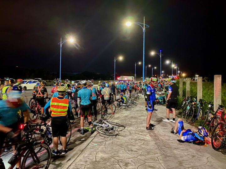
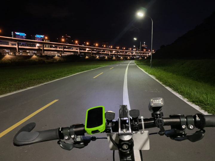
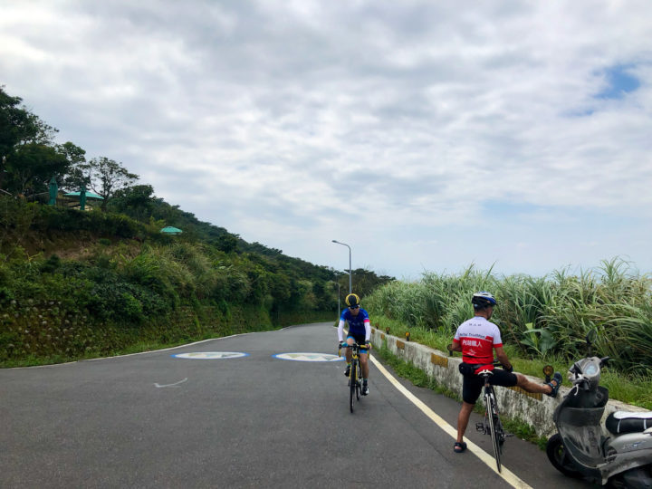
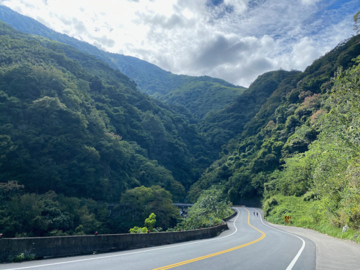
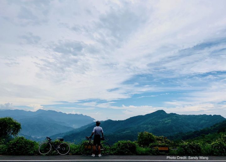
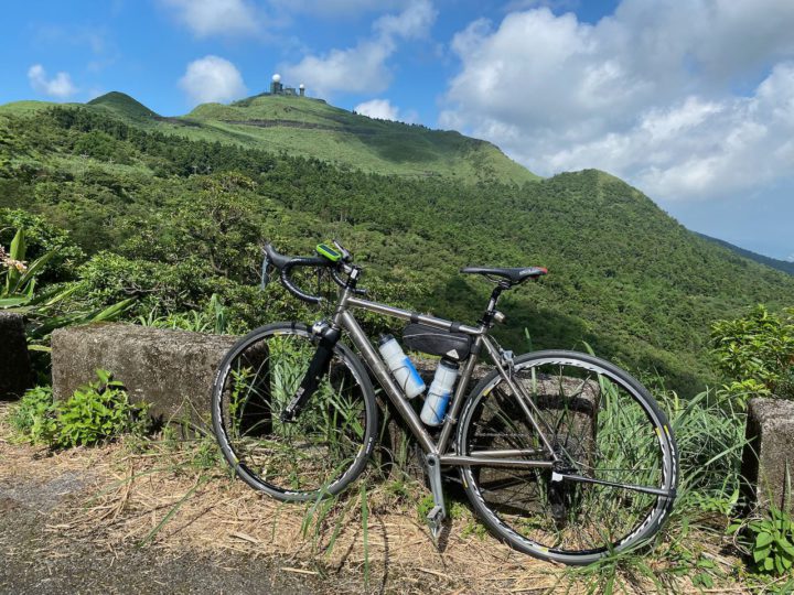
I participated in the “Two Tower in One Day” Challenge 一日雙塔 in 2021 to cycle a 520km route within 28 hours. I could not make it but here are some experiences worth sharing. This part is how I prepare for the event.
カテゴリー: サイクリングルート
Cycling Route: Buddha’s Palm – Climb Training
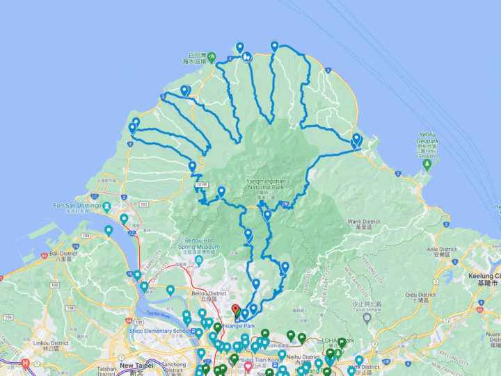
The cycling route known as “Buddha’s Palm” 如來神掌 is one of the most challenging route in Taipei and New Taipei. Those who have completed the route will find themselves climbing over the Yangmingshan twice and drawing a palm in their GPS tracking apps.
Cycling Route: Guanyinshan – Climb Training
Guanyinshan 觀音山 is another popular cycling destination for a quick climbing exercise at the north-west side of New Taipei City, right next to the the left bank of Tamsui River. It makes it easily accessible via the Riverside Bikeways.
“Taipei to Kaohsiung in One Day” Challenge (2)
The “Taipei to Kaohsiung in One Day” Challenge 一日北高 is one of the most popular cycling events in Taiwan, organised by Taiwan Bike Association 台灣自行車協會 and held every November. In order to be awarded the certificate of completion, participants need to cycle from Taipei to Kaohsiung along the west coast within 20 hours. The total distance is around 360 km. This part is what happened that day.
“Taipei to Kaohsiung in One Day” Challenge (1)
The “Taipei to Kaohsiung in One Day” Challenge 一日北高 is one of the most popular cycling events in Taiwan, organised by Taiwan Bike Association 台灣自行車協會 and held every November. In order to be awarded the certificate of completion, participants need to cycle from Taipei to Kaohsiung along the west coast within 20 hours. The total distance is around 360 km. This part is how I prepare for the event.
Cycling Route: Fengzhongjian – Climb Training
Fengzhongjian 風中劍 is a 24km cycling route linking up a numbers of roads sprawling across Shilin District 士林區 and Neihu District 內湖區 of Taipei City. It comes with three peaks at 160m, 321m and 600m respectively, and therefore ideal for climb training.
Cycling Route: Yulao Lookout – Climb Training
I went cycling from Yingge District 鶯歌 to Yulao Lookout 宇老觀景台 (altitude 1500m) via the Northern Cross-Island Highway 北部橫貫公路 / 北橫, and then descended to Hsinchu High Speed Railway Station 新竹高鐵站. It was a 127km route with a maximum elevation of 1500m with beautiful views in the mountains.
Cycling Route: Dongyanshan – Climb Training
I went cycling from New Taipei’s Tucheng (土城) to Dongyanshan (東眼山; literally “Eastern Eye Mountain”) National Forest Recreation Area in Taoyuan County with a small group of friends on a Sunday in September 2020. It was a 71km loop with the maximum elevation of 913m, plotted by Sandy Wang, a cycling enthusiast. The starting point, and also the end point, is at the southern terminus of Taipei Metro’s Blue Line, Dingpu Station.
Cycling Route: Wufenshan and Buyan Pavilion – Climb Training
I went for a cycling trip with a group of cyclists in the outskirts of Taipei on a Saturday in mid June. It is a 67km loop with two climbs to Wufenshan Meteorological Radar Observatory 五分山氣象雷達站 (757m) and Buyan Pavilion 不厭亭 (530m).
Cycling Route: Crocodile Island – Climb Training
I went for a cycling trip with a small group of local cyclists on a Saturday in May, to get a good look at the Crocodile Island 鱷魚島, which can be found in the Fei-ts’ui Reservoir 翡翠水庫 in Shiding District 石碇區 of New Taipei City. It is a 41km route with a maximum altitude of 583m and an elevation gain 1871m. The route is designed by the group leader Sean Fang.

