このブログ記事の翻訳を進行中です。もうすぐ完成しますので、後ほど再度ご確認ください。ご不便をおかけして申し訳ありません。現在は、こちらで提供されているGPXルートや地図などの情報を自由にご利用ください。
I went for a cycling trip with a group of cyclists in the outskirts of Taipei on a Saturday in mid June. It is a 67km loop with two climbs to Wufenshan Meteorological Radar Observatory 五分山氣象雷達站 (757m) and Buyan Pavilion 不厭亭 (530m). The route is designed by Sandy, my cycling enthusiast friend who wanted to offer a group of cyclists from the southern part of Taiwan an unique cycling experience here in the northern part of the island. The downloadable GPX file of this cycling route is at the end of this post.
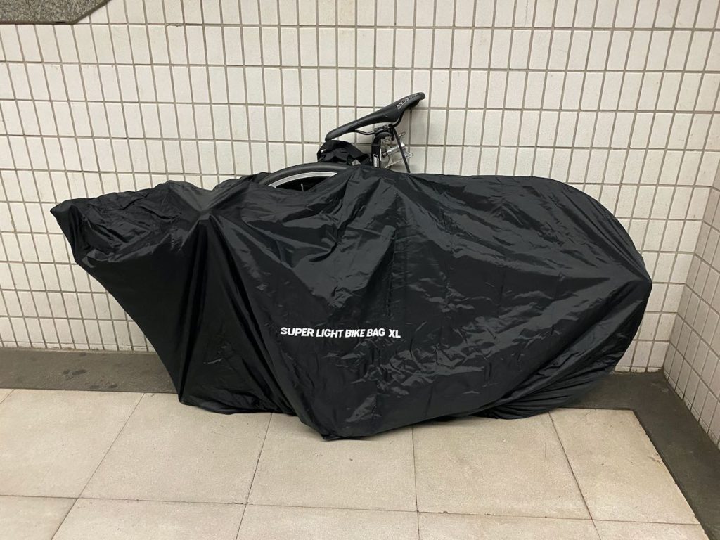
For people living in Taipei city, we can just hop on our bike, head towards a random direction, and there will be a cycling route waiting for us. We can reach those small quiet towns in the outskirts of the city in 1-2 hours. However, in order to get away from the city traffic as soon as possible and spend more time in the countryside, we sometimes take the train with our bikes to get away from Taipei first and begin our ride somewhere else. That day I was to meet my friends in Ruifang Station 瑞芳站 at 6:30 am. I bagged my bike, boarded the earliest north-bound train at Nangang Station 南港站, and arrived at Ruifang Station in 40 minutes. Please refer to this post for more information about traveling with your bikes on public Transportation in Taiwan
I found a breakfast shop next to two convenience stores (7-Eleven and OK mart) outside Ruifang Station. It offers a wide range of traditional picks that turn plain flour into different kinds of products like deep fried bread sticks, clay oven rolls, and steamed buns of sweet or savory favors. The soybean milk had a slightly burnt taste, which I found really good to go with a clay oven roll. I usually prefer not to eat too much carbohydrate but I needed to load up some energy for the climbs that day.
After meeting up and exchanging some greetings, we headed off to County Highway 106 via Provincial Highway 2D (Shown on Google Maps as 2丁) for the first climb. I had cycled on County Highway 106 a couple times before, but all in the opposite direction, starting off from Nangang, and for a descent. I always found the road rather steep. However, when doing the climb, it wasn’t as bad as I had expected. The first part of the first climb, which is around 7.63km, with an elevation of 476m (average gradient around 6.2%) was completed in an hour. It was probably the 14 sharp turns on this route, rather than the gradient, that made me nervous when I was descending.
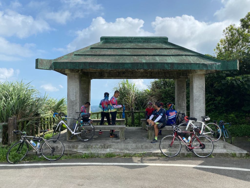
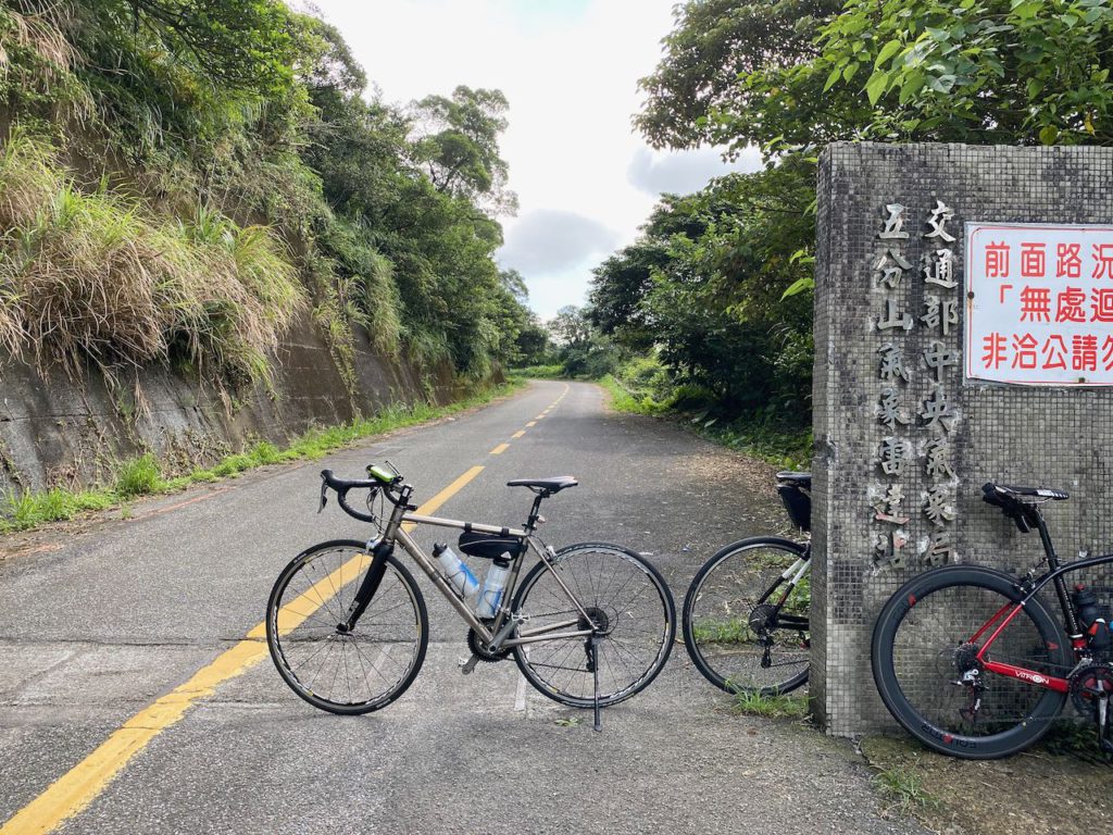
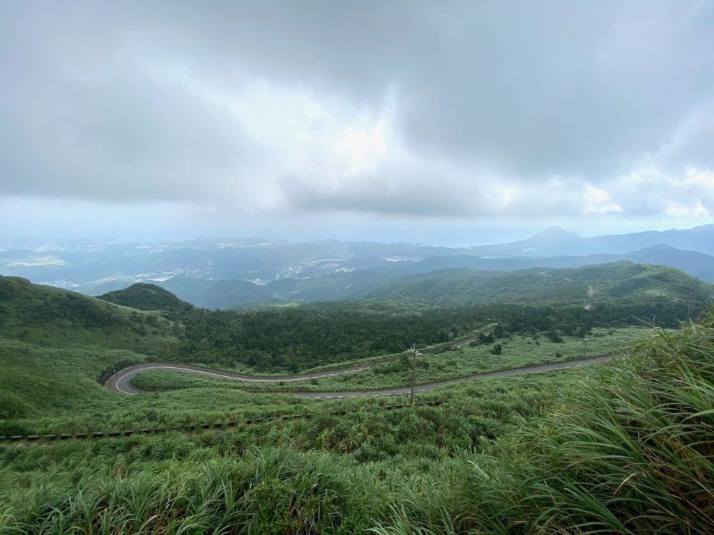
After taking a short break chatting with the teammates underneath a small pavilion, where we enjoyed some breeze and the sea view, I reached a familiar junction with a U-turn that leads to a small path for more climbing. I had passed this junction in my previous rides and had always felt relieved for the fact that I didn’t have to take this route after cycling for around 40km from Nangang. But this time, we were going this way because it was the detour mapped out by Sandy that would bring us to the Wufenshan Meteorological Radar Observatory. It turned out to be one of the most enjoyable climbs I have ever done. I reached a state of euphoria in a split second as soon as I arrived at the first turn, which rewarded us with a panoramic view of the peaks sitting on multiple layers of ridges and the sea afar. It was another climb of 281m in 4.55km but I did not notice making any effort reaching the top. There were fellow cyclists doing climb sprinting along the route. If you stop to take pictures, please watch out for speedy bikes coming both ways.
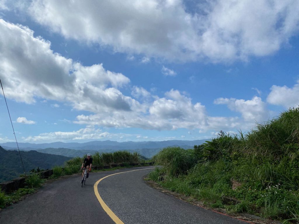

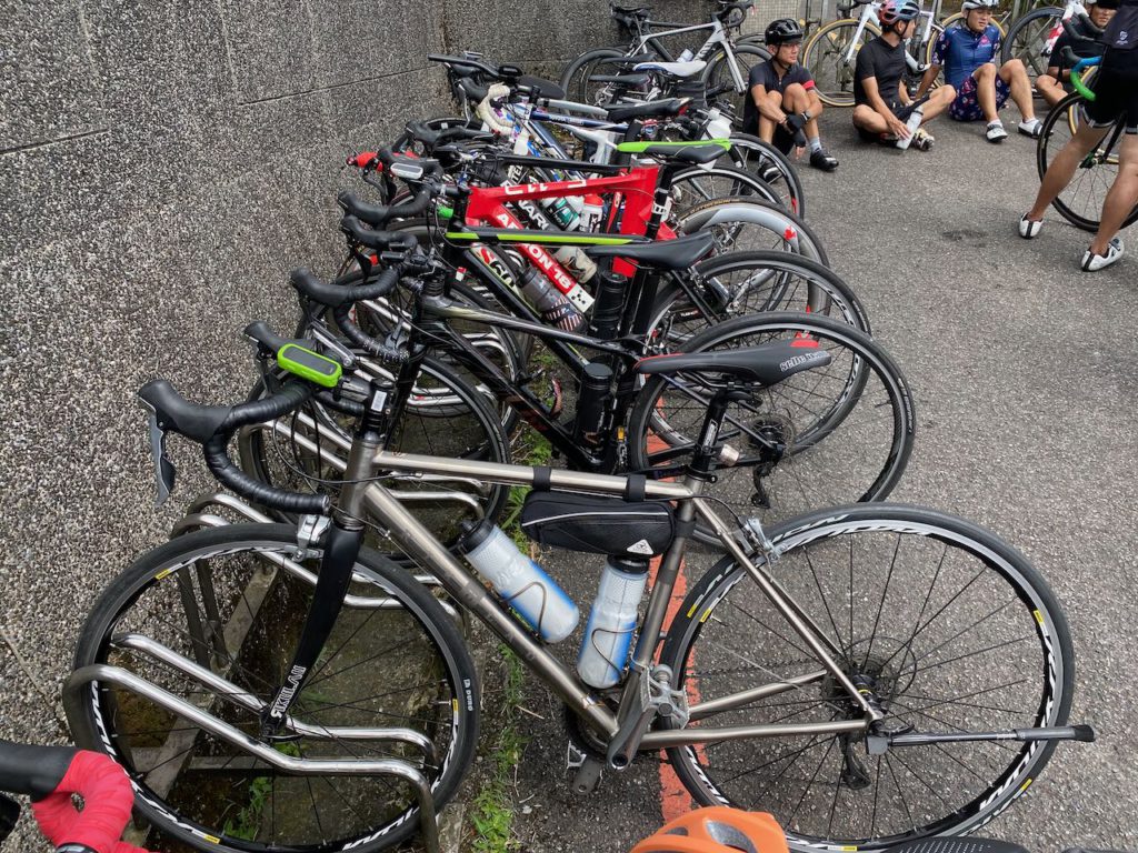
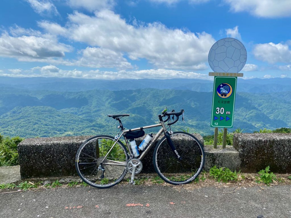
We took a dive from the top (757m) all the way to Shifen 十分 (elevation 175m), a small town in a valley, for a short break and some supplies. Shifen had been attracting hordes of tourists for its signature activity of sky lantern launching. Before sending your sky lantern up into the air, you can make wishes by writing them down on the lantern. It must be fun to do that. However, the industry is under the accusation of causing environmental issues and wildfire risks. I surely don’t want the lantern with my wishes on it dangling on a tree and becoming an eyesore of an otherwise beautiful valley, nor do I want it setting fire to someone’s home. To address these issues, the industry and the Tourism Bureau have formulated some countermeasures, including restricting the launch to certain areas, limiting the amount of fuel in the lanterns so as to prevent them from traveling afar. There are also schemes implemented to retrieve and recycle the used lanterns. A local cultural preservation group even developed a new kind of lantern that will self-incinerate in the air after launching, which I find a very good idea. Now I’m more willing to have a try.
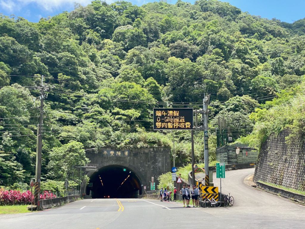
We took the Provincial Highway 2C (shown on Google Maps as 2丙) to the next town, Shuangxi 雙溪, for lunch. It was another thrilling speedy glide on the wide and straight highway, after climbing a short slope to the tunnel. If you see a spike on the elevation profile on your GPS route, it’s probably because your GPS App fails to recognise the tunnel and tracks it as if you have climbed over the hill. Before we reached Shuangxi, we switched to a small road along a stream for less traffic and more shade. GPS route is available at the end of this post.

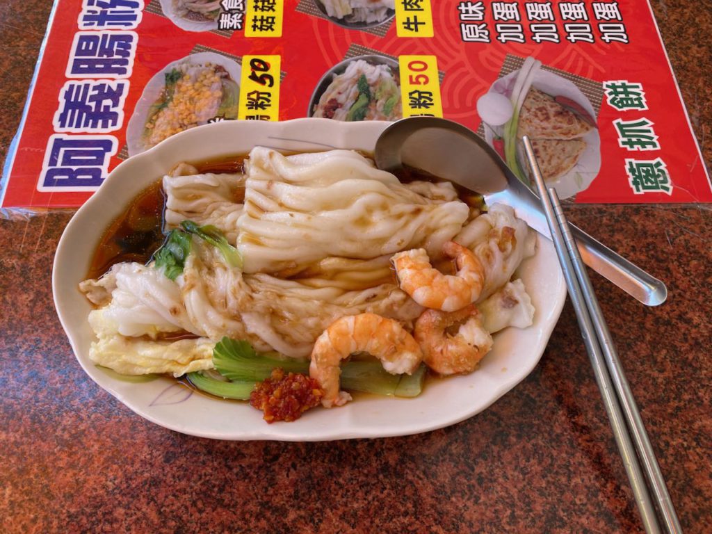
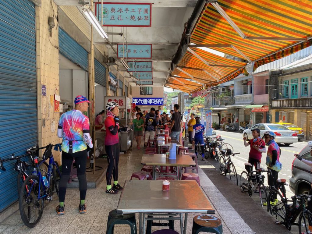
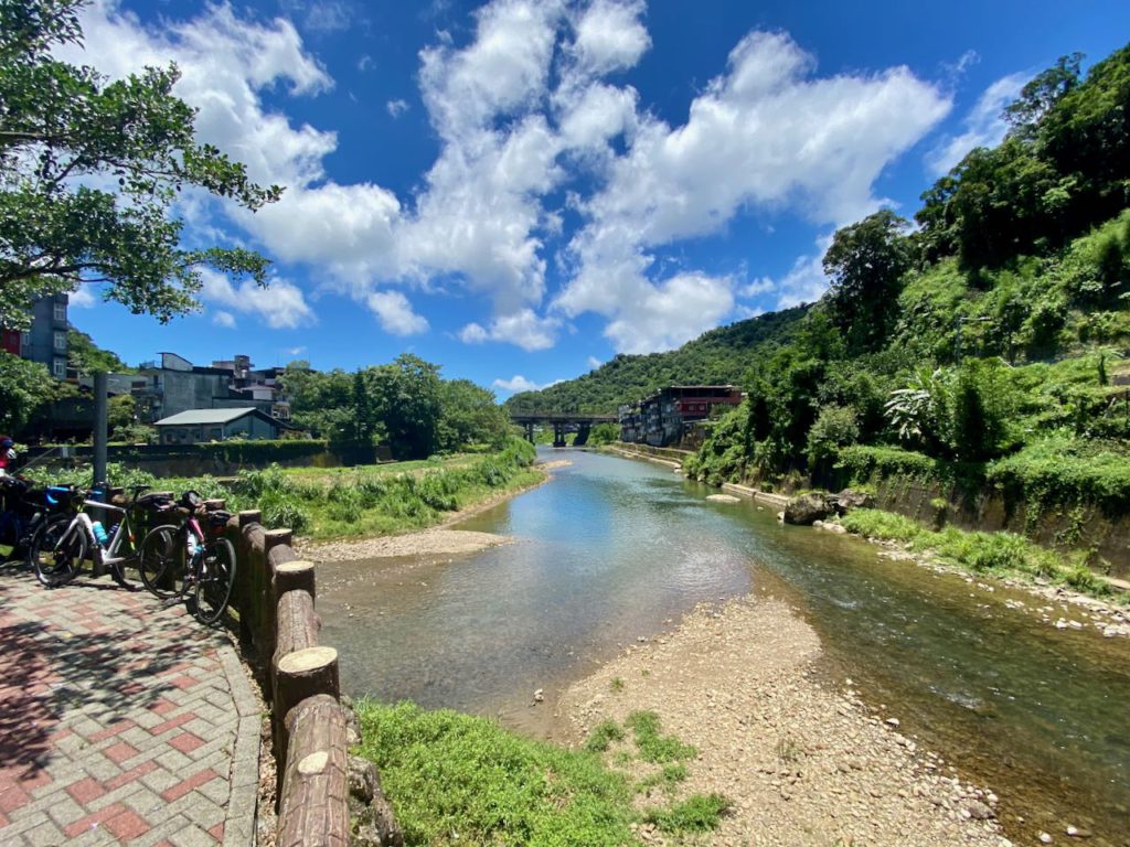
We set off to Buyan Pavilion refreshed. It’s harder for this climb because of the heat in the afternoon. On the other side of the hill sits an interesting town, Jiufen 九份, where Sandy had plotted an eventful route full of interesting spots for the group to visit. But I realized mid-way through the climb that I probably shouldn’t stick with the plan. As I had another cycling trip with a new friend early next morning and I had no idea what his average speed would be, I did not want to exhaust all my strength, risking not being able to keep up with him. So, not without regret, I returned to Shuangxi, packed my bike and took the next train home.
That was a wonderful trip. I will surely do it more in the future. As shown on the GPX route at the end of this post, after descending from Buyan Pavilion, there are two branches before reaching the coastal line. The first one to Jioufen Elementary School is for a dessert shop that serves shredded ice topped with taro balls. Located on the edge of the hillside, the shop offers a nice sea view to customers along with delicious desserts. It’s very popular amonglocal cyclists. The other branch leads to an old small canal bridge, which is very photogenic. And there are yet more to be visited.
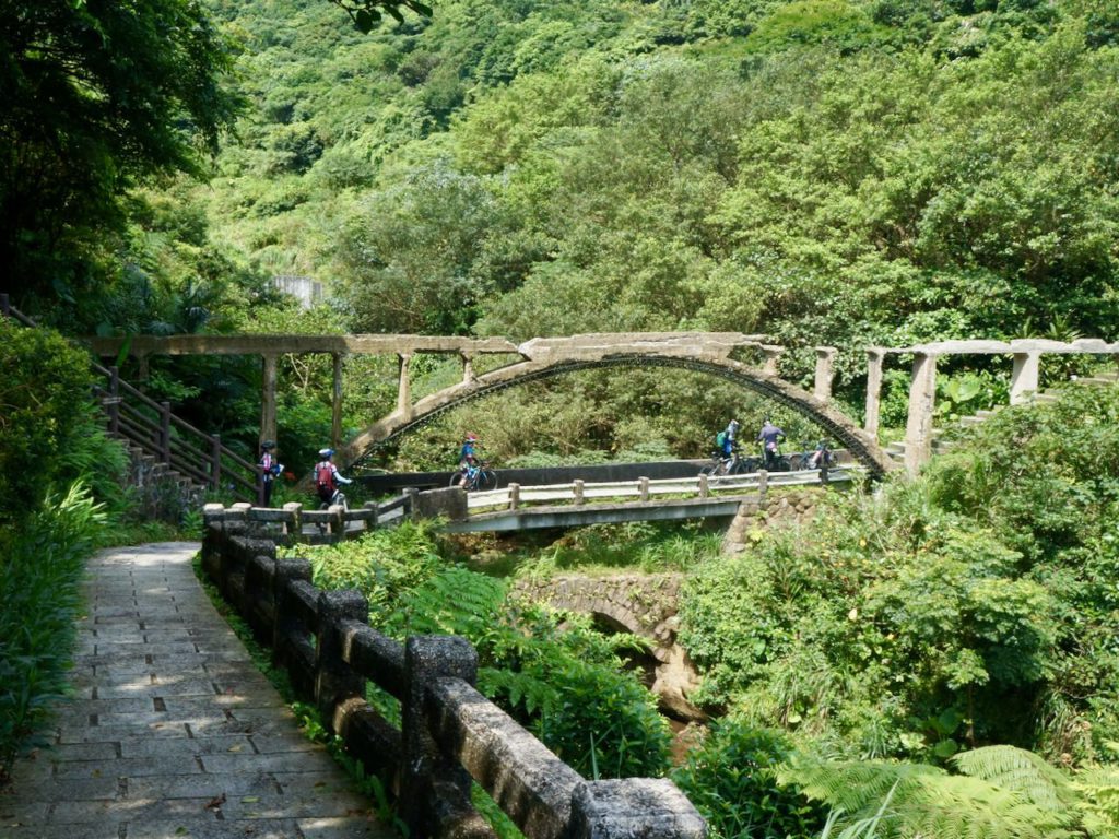
Thank you Sandy for designing such a wonderful route.
For more information about Buyan Pavilion, here is another post. https://www.bikeexpress.com.tw/2019/cycling-route-buyan-pavilion-climb-training/
Routes:
- Garmin: https://connect.garmin.com/modern/course/42576804
- Velodash: https://cx6sm.app.goo.gl/sGYG
- komoot: https://www.komoot.com/tour/1032763521
NOTE: To use the routes, please install the App on your smartphone. The App will launch and load the route automatically after you tap the above links on your smartphone’s browser. For Garmin Connect, you can then use the APP to send the route to your garmin device. If your Garmin device is not purchased in Taiwan, you will also need make sure you have the Taiwan map on your device. Here is our blog post on this topic.
