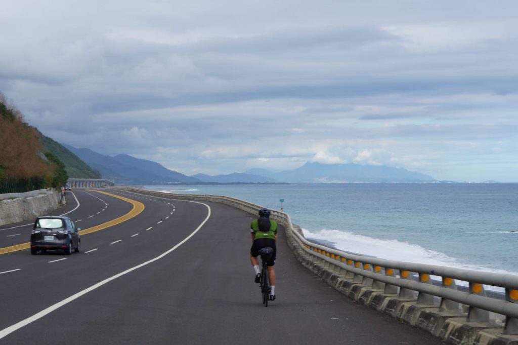
私たちは、一度に台湾を一周する時間がなかったため、複数回に分けてサイクリングを行いました。各セクションの最後に、ダウンロード可能なGPXファイルを掲載しています。
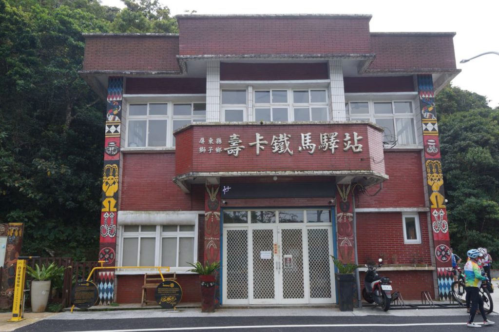
これは、「台湾一周を複数のステージで走る旅」の第2ステージです。このステージでは、高雄から台東までをカバーしました。私たちは、西海岸から東海岸へと移動するために、標高460mの壽卡峠、または壽卡バイカーズレストストップを越えるルートを選びました。高雄を出発し、車城まで走行しました。
壽卡バイカーズレストストップへ登るには、2つのルートがあります。ひとつは省道9号線、もうひとつは県道199号線です。省道9号線は交通量が多いため快適とは言えません。そのため、県道199号線を選択するのが賢明です。3日目の夜は金崙(金崙)で宿泊しました。このエリアには小規模なホテルがいくつかあり、中には温泉を提供しているところもあります。
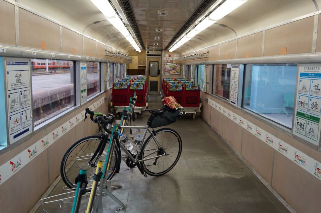
最終日は比較的楽なルートで、台東駅までわずか41kmの道のりでした。台東駅では、自転車を台北の萬華駅または松山駅へ送ることができます。その後、台北松山空港まで国内線で飛ぶか、列車で帰宅することができます。私自身は、特別仕様の自転車ラック付き列車「C.K. EXP No. 81」に乗車しました。この列車は、自転車をそのまま車両に押し込むことができ、16:02に出発し、5時間後に松山駅に到着しました。「C.K. EXP No. 81」は、毎週金曜日、土曜日、日曜日、月曜日のみ運行されています。
もしこのステージが短すぎると感じる場合は、さらに南へ向かい、鵝鑾鼻灯台を訪れる追加ルートも用意しています。
1日目:高雄 ~ 車城(99km、上昇310m、下降323m)
このステージでは3日間しか確保できなかったため、前回の終点である台南ではなく、高雄からスタートすることにしました。そのため、よりスムーズに進めるために、水曜日に自転車を鳳山駅へ送り、金曜日の午後8時までに受け取りました。その後、高雄で前泊し、翌朝できるだけ早く出発しました。
振り返ると、自転車の受け取り場所としては、鳳山駅よりも楠梓駅の方が良い選択だったかもしれません。楠梓は高鉄(HSR)駅に近く、荷物室の場所も分かりやすいためです。もう一つの選択肢としては、土曜日の朝に最も早い高鉄(HSR)に乗り、輪行袋に入れた自転車を持ち込んで左営(高雄)駅に到着し、そこからライドをスタートする方法もありました。ただし、高雄の左営駅に到着する最も早い高鉄は午前8時40分なので、出発時間が遅くなってしまうというデメリットがあります。
高雄は台湾で3番目に大きな都市です。市の中心部からのスタート時は4車線の大通りを走りましたが、南へ進むにつれてサイクリングロードが現れ、より快適に走れるようになりました。その後、さらに郊外に進むと交通量も減少しました。
途中、私たちはスポークが1本折れてしまうトラブルに見舞われましたが、幸いにも枋寮駅前に親切な自転車ショップを見つけることができました。修理を待つ間、3時間のランチ休憩を取ることになりましたが、特に不満はありませんでした。カーボンホイールの修理は難しいものですが、それでも午後3時半までには車城に到着することができました。このルートは比較的楽で、追い風のおかげでさらにスムーズに走ることができました。
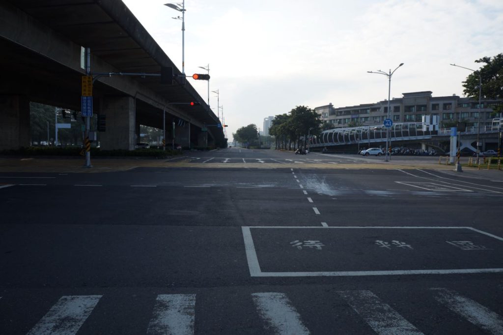
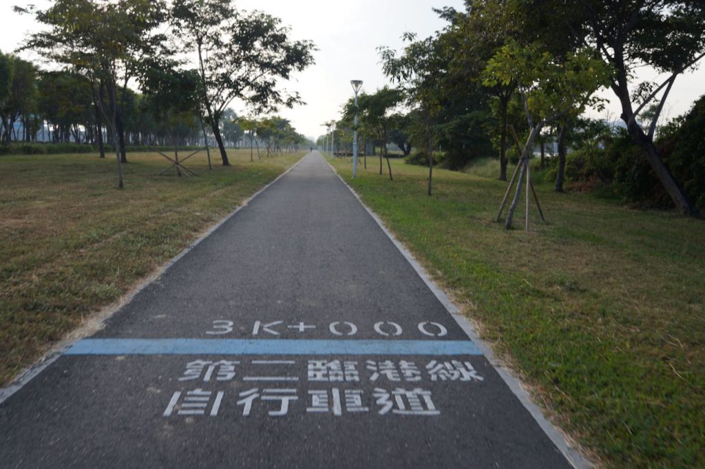
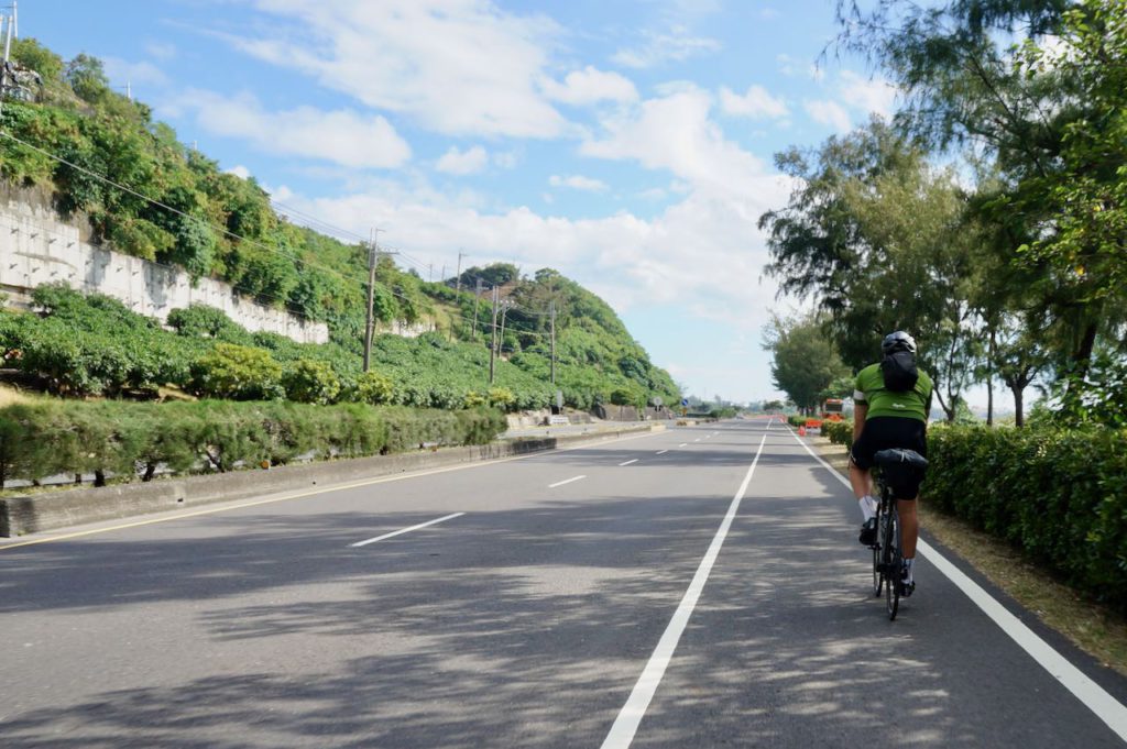
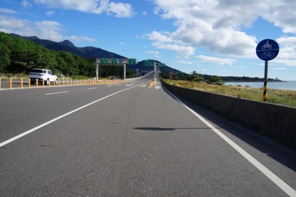
時間に余裕がある場合は、駁二芸術特区へ立ち寄り、その後フェリーで旗津区へ渡るのもおすすめです。旗津の細長い島を南東方向へサイクリングし、中洲フェリー乗り場から再びフェリーで本土側に戻ることで、メインルートへ合流することができます。
ルート
- Garmin: https://connect.garmin.com/modern/course/95394925
- Velodash: https://velodash.page.link/vVEw
- komoot: https://www.komoot.com/tour/1023772799
代替ルート
- Garmin: https://connect.garmin.com/modern/course/95394961
- Velodash: https://velodash.page.link/4u2E
- komoot: https://www.komoot.com/tour/1023775139
註記:ルートを使用するには、スマートフォンにアプリをインストールしてください。スマートフォンのブラウザで上記のリンクをタップすると、アプリが自動的に起動してルートを読み込みます。Garmin Connectの場合、アプリを使用してルートをGarminデバイスに送信できます。台湾で購入したGarminデバイスでない場合、デバイスに台湾地図がインストールされていることも確認する必要があります。このトピックに関する当社のブログ投稿もご覧いただけます
2日目:車城 ~ 金崙(距離78km、上昇650m、下降629m)
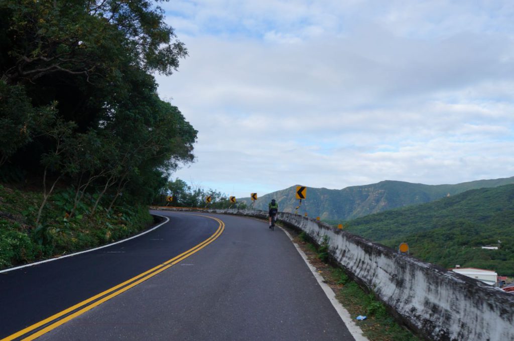
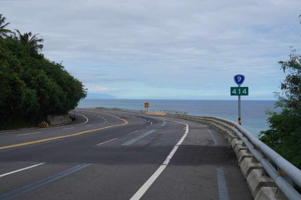
2日目の最初の37kmは、累積標高が530mと比較的厳しい登りが続きます。しかし、壽卡峠に到達すれば、東海岸へ向かう長く爽快な下り坂が待っています。金崙に到着する直前には、台湾で最も美しい駅として知られる多良駅への寄り道が可能です。この駅は省道9号線沿いに位置しています。
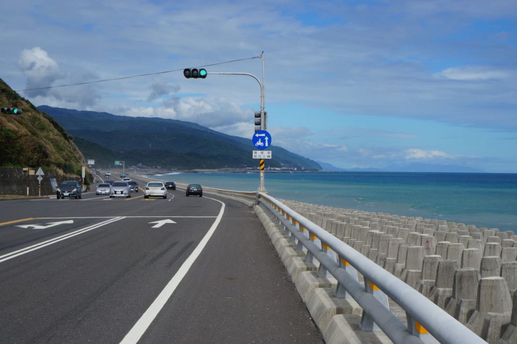
ルート
- Garmin: https://connect.garmin.com/modern/course/95619695
- Velodash: https://velodash.page.link/8ubc
- komoot: https://www.komoot.com/tour/1023777248
註記:ルートを使用するには、スマートフォンにアプリをインストールしてください。スマートフォンのブラウザで上記のリンクをタップすると、アプリが自動的に起動してルートを読み込みます。Garmin Connectの場合、アプリを使用してルートをGarminデバイスに送信できます。台湾で購入したGarminデバイスでない場合、デバイスに台湾地図がインストールされていることも確認する必要があります。このトピックに関する当社のブログ投稿もご覧いただけます
2日目エクストラ: 車城から鵝鑾鼻灯台を経由して金崙へ (136km、上昇1170m、下降1148m)
県道199号線を東に進むのではなく、南へ進み、台湾最南端の鵝鑾鼻灯台まで行った後、北上して東海岸の景色を楽しみ、そこから避けられない壽卡峠の登りに挑むこともできます。このルートを選ぶと、総距離136km、上昇1093m、下降1070mの長い1日となります。
ただし、鵝鑾鼻灯台を過ぎて北へ向かうと、補給や宿泊施設が限られるため、このルートを利用する場合は、満州郷で1泊追加することをおすすめします。この場合、2日目は45kmの距離しか進めませんが、満州郷にはホームステイや食堂、コンビニなどがあり、補給がしやすくなります。もしくは、1日目により長い距離を走り、墾丁で宿泊することで、2日目の負担を軽くするのも良い選択肢です。墾丁夜市周辺には多くの小規模なホテルがあります。
どのプランを選ぶにせよ、壽卡峠からの下りを暗闇の中で走ることにならないよう、しっかりと計画を立てましょう。
ルート
- Garmin: https://connect.garmin.com/modern/course/95620959
- Velodash: https://velodash.page.link/xwkm
- komoot: https://www.komoot.com/tour/1023781070
註記:ルートを使用するには、スマートフォンにアプリをインストールしてください。スマートフォンのブラウザで上記のリンクをタップすると、アプリが自動的に起動してルートを読み込みます。Garmin Connectの場合、アプリを使用してルートをGarminデバイスに送信できます。台湾で購入したGarminデバイスでない場合、デバイスに台湾地図がインストールされていることも確認する必要があります。このトピックに関する当社のブログ投稿もご覧いただけます
3日目:金崙 ~ 台東(41km、上昇263m、下降256m)
この日はステージ2の最終日となります。予定を短めに設定し、余裕を持たせることで、何らかのトラブルが発生した場合でも帰りの列車に間に合うようにしました。
台東は台湾本島の中でも最も遠隔地にある都市の一つであり、台北直通の列車チケットは販売開始から数時間で売り切れることがよくあります。また、台北松山空港への国内線フライトもありますが、座席数が限られています。万が一、これらの手段を逃してしまった場合、台東から高雄まで列車または長距離バスで移動し、そこから台湾高速鉄道(HSR)やバスで台北へ戻る必要があります。
そのため、この日の行程は短く設定し、最終目的地の台東駅までの移動をできるだけスムーズにしました。
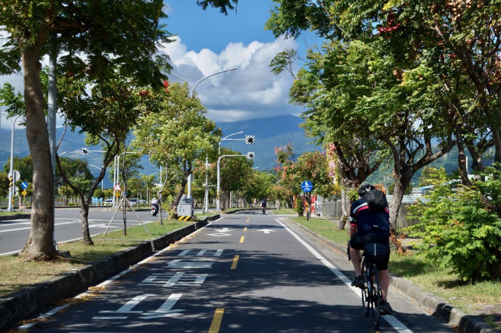
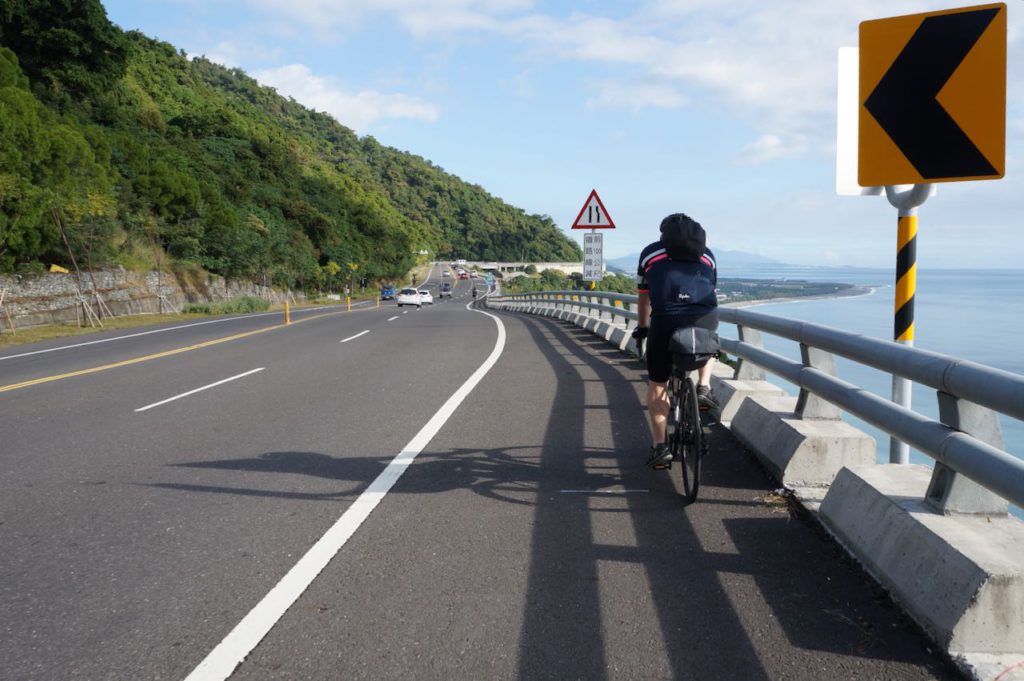
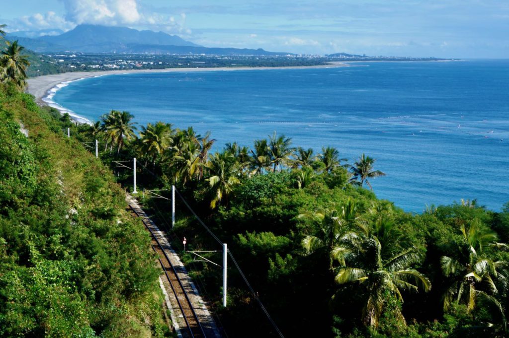
私たちは直接台東駅へ向かい、友人たちは駅の荷物預かり所で自転車を預け、台北へ送る手続きをしました。その後、市内中心部(駅から約5km)でゆったりとランチを楽しみました。友人たちは飛行機で台北へ戻る一方で、私は自転車を載せて5時間かけて松山駅まで列車で帰りました。
※編集:この列車は現在運行していません。現在、台東から台北まで裸の自転車(袋に入れない状態)をそのまま載せられる唯一の列車は、莒光号667で、毎週日曜日の22:45に出発し、翌日の04:31に到着します。
台東市内では公共交通機関の便があまり良くありません。Uberのサービスも提供されていないため、移動手段としてタクシーを利用することが一般的です。ただし、多くのタクシーは台東駅で待機しているため、市内のレストランなどで食事をする際に、店のスタッフにタクシーの手配をお願いしておくとスムーズに移動できます。
ルート
- Garmin: https://connect.garmin.com/modern/course/95693808
- Velodash: https://velodash.page.link/eLZM
- komoot: https://www.komoot.com/tour/1023783872
註記:ルートを使用するには、スマートフォンにアプリをインストールしてください。スマートフォンのブラウザで上記のリンクをタップすると、アプリが自動的に起動してルートを読み込みます。Garmin Connectの場合、アプリを使用してルートをGarminデバイスに送信できます。台湾で購入したGarminデバイスでない場合、デバイスに台湾地図がインストールされていることも確認する必要があります。このトピックに関する当社のブログ投稿もご覧いただけます
