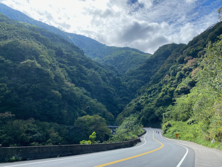
Continue the “Slit the Sweet Potato” adventure, cycling from Puli through tea farms and indigenous settlements, ascending to Tataka at 2,600 m.
Category: Climbing routes
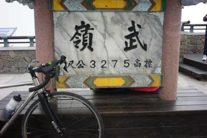
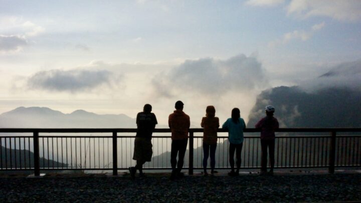
Cycle the Five Extremes Around Taiwan – Conquering the Wuling Pass
Take on the Five Extremes of Taiwan, including the 3,275m Wuling Pass, Taiwan’s ultimate KOM challenge! Ride 1,237 km with 11,143m elevation gain.
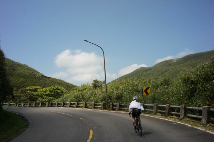
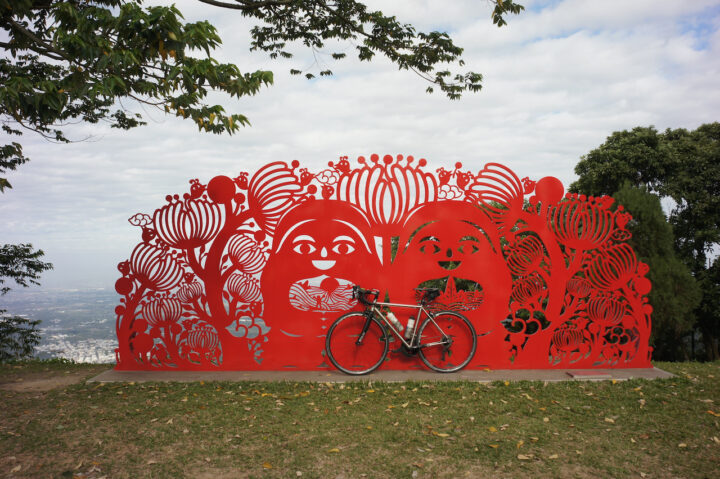
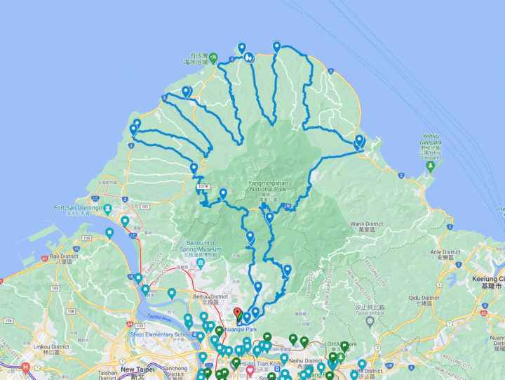
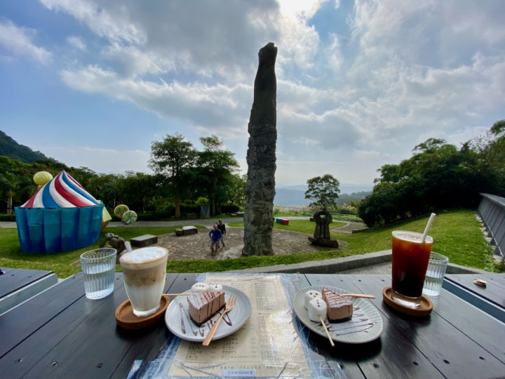
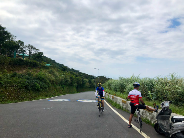
Five Cycling Routes to Explore Yangmingshan
Discover the breathtaking beauty of Yangmingshan National Park in Taiwan! 5 Cycle routes offer panoramic vistas, from Pingjing Street to Yangde Boulevard or Balaka Highway and the North Coast
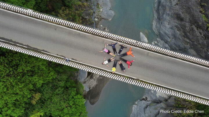
Slit the Sweet Potato – Cycle Through Taiwan’s Mountainous Splendor (1)
Embark on the “Slit the Sweet Potato” journey, cycling 760 km from Fuguijiao to Eluanbi, conquering Wuling Pass at 3,275 m, with a total ascent of 26,087 m.
Cycling Route: Taiping 36 Bends – Climb Training
Taiping 36 Bends, or Meishan 36 Bends 梅山36彎 as known in Chinese, is a 15km route with 800m elevation gain in Meishan, Chiayi. It’s famous among local cyclists for its 36 hairpin turns and beautiful scenery along the way.
Cycling Route: Buddha’s Palm – Climb Training
The cycling route known as “Buddha’s Palm” 如來神掌 is one of the most challenging route in Taipei and New Taipei. Those who have completed the route will find themselves climbing over the Yangmingshan twice and drawing a palm in their GPS tracking apps.
Cycling Route: Guanyinshan – Climb Training
Guanyinshan 觀音山 is another popular cycling destination for a quick climbing exercise at the north-west side of New Taipei City, right next to the the left bank of Tamsui River. It makes it easily accessible via the Riverside Bikeways.
Cycling Route: Fengzhongjian – Climb Training
Fengzhongjian 風中劍 is a 24km cycling route linking up a numbers of roads sprawling across Shilin District 士林區 and Neihu District 內湖區 of Taipei City. It comes with three peaks at 160m, 321m and 600m respectively, and therefore ideal for climb training.
Cycling Route: Yulao Lookout – Climb Training
I went cycling from Yingge District 鶯歌 to Yulao Lookout 宇老觀景台 (altitude 1500m) via the Northern Cross-Island Highway 北部橫貫公路 / 北橫, and then descended to Hsinchu High Speed Railway Station 新竹高鐵站. It was a 127km route with a maximum elevation of 1500m with beautiful views in the mountains.
Cycling Route: Dongyanshan – Climb Training
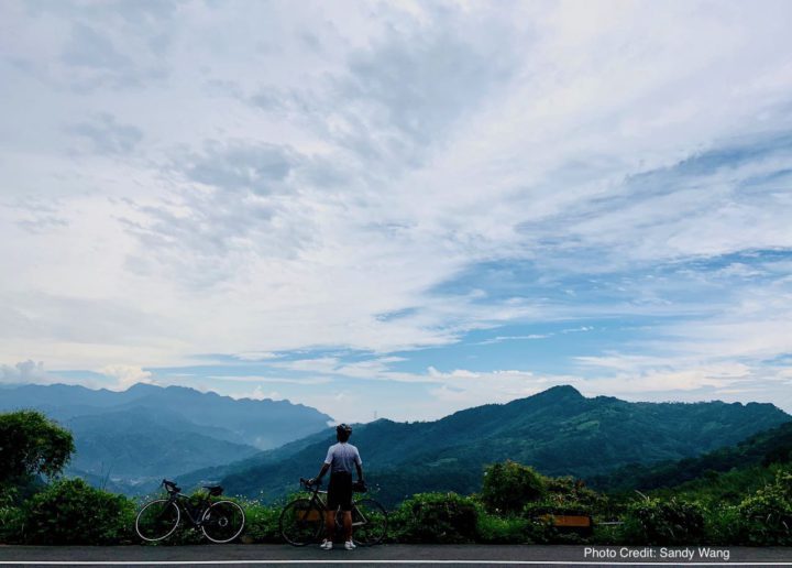
I went cycling from New Taipei’s Tucheng (土城) to Dongyanshan (東眼山; literally “Eastern Eye Mountain”) National Forest Recreation Area in Taoyuan County with a small group of friends on a Sunday in September 2020. It was a 71km loop with the maximum elevation of 913m, plotted by Sandy Wang, a cycling enthusiast. The starting point, and also the end point, is at the southern terminus of Taipei Metro’s Blue Line, Dingpu Station.