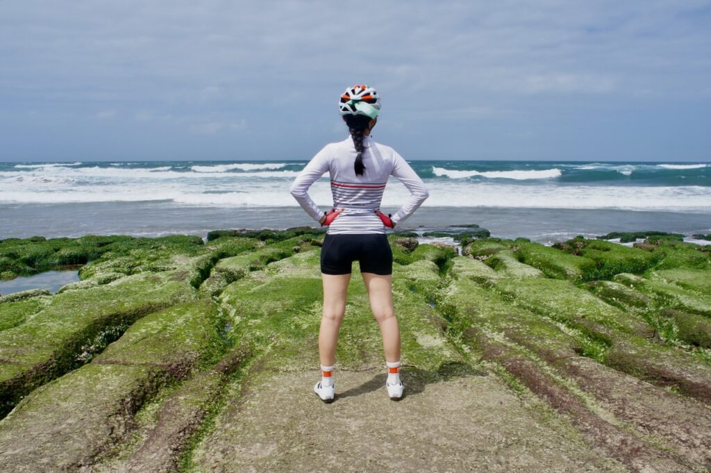
This three-day itinerary around Greater Taipei is the fourth stage of the Cycling Around Taiwan in Multiple Stages series. After completing this stage, we will have closed the loop of cycling around Taiwan. At this stage, there’s no need for public transportation as we start and end at Songshan Station. Whenever you are ready, just grab your bike and ride. You will soon realise how close Taipei is to the diverse natural beauty – with mountains, seas -and to rich culture found in charming towns. Flexible GPS routes are included to suit different riding styles. Whether you are a leisure rider or an endurance explorer, this journey promises unforgettable views and a refreshing way to enjoy your holiday.
Day 1 Taipei To Fulong
We will cycle from Taipei to Fulong, a relaxing resort town on the northeastern tip of the island. The starting point I use is the official starting point of Cycle Route No. 1, located outside Songshan Train Station. If you are staying in another part of Taipei, you can use the Riverside Bikeways to reach the starting point via a traffic-free route. Alternatively, take the MRT during weekends or non-peak hours. If you are near the Green Line, get off at Songshan MRT station. For the blue line, alight at Nangang Exhibition Center Station (if you are not aiming at the official starting point.)
From the start, we join the Riverside Bikeways to reach County Highway 109. Once you leave the Nangang Exhibition Centre, the cityscape gives way to quiet country towns. There is a short steep climb before reaching County Highway 106. Take it easy-you can always dismount and push your bike if needed. It is only around 2 km. The descent that follows is equally steep, so again, take your time and ride safely.
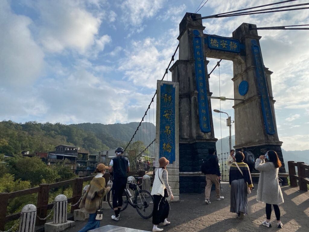
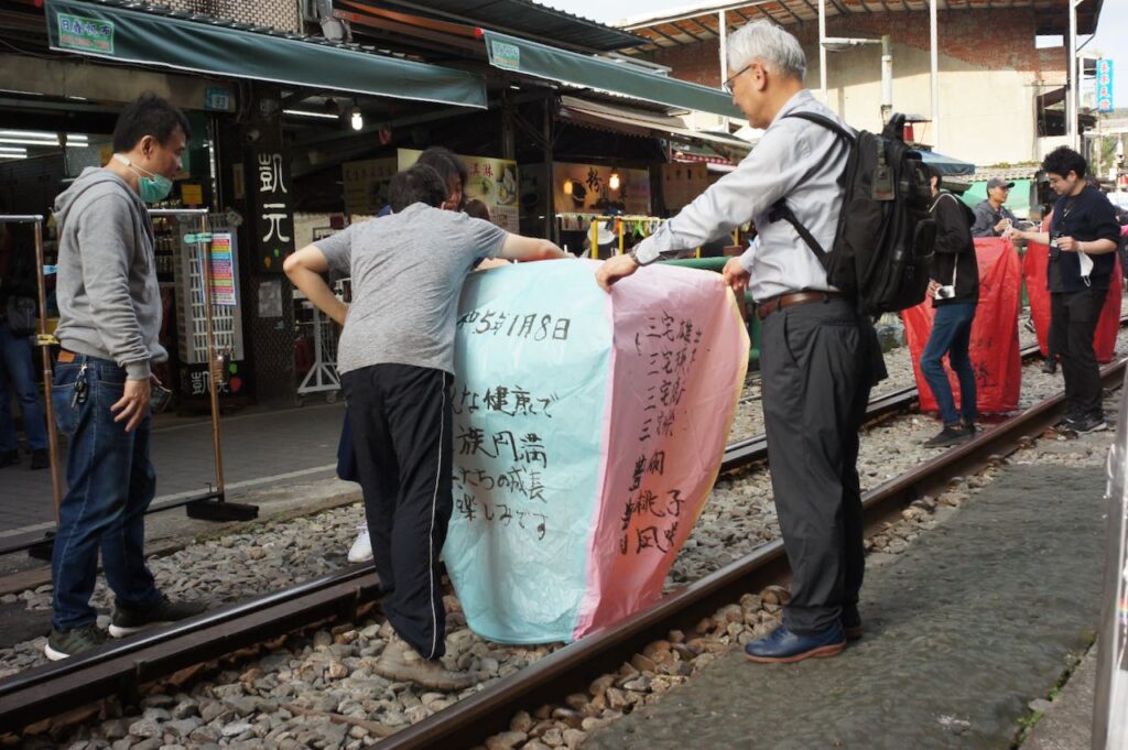
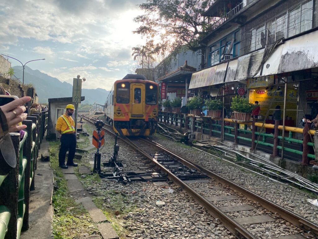
County Highway 106 is a much gentler ride. You’ll pass through several small villages, including Jingtong, Pingxi and Shifen, which are worth visiting if you are making good progress. If you notice the GPS route branching into small streets away from County Highway 106, that’s trying to show you some interesting spots. If you are short on time, just stay on County Highway 106. We will eventually leave county highway 106 from Shifen. Make sure you switch to Provincial Highway 2C or (2丙).
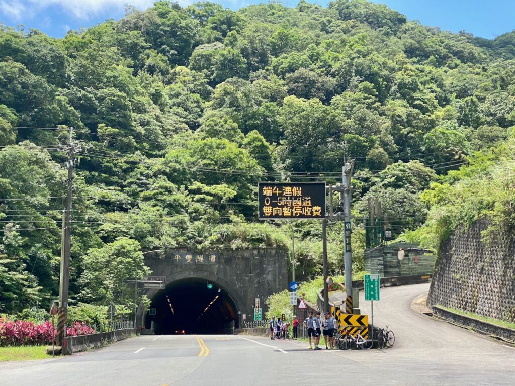
After a brief climbing on Provincial Highway 2C or (2丙), you’ll enter a tunnel that leads to Shuangxi and then Fulong. If you see a sharp climb on the elevation profile at 38.5km up to 396 metres, don’t worry – that’s just the navigation software failing to recognise the tunnel and misreading it as a climb over a hill. You won’t have to make the climb. Instead, enjoy a thrilling descent onto a wide tranquillising country road with a gentle downward slope leading all the way to Fulong. Be sure to turn on your rear light before entering the tunnel.
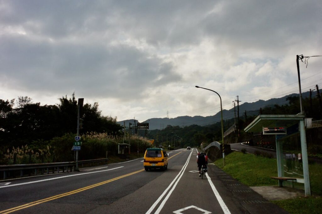
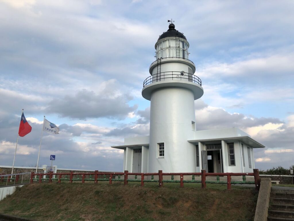
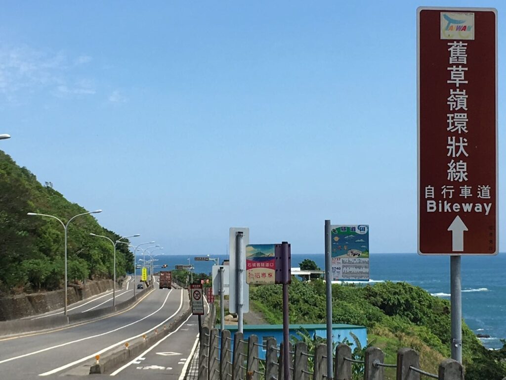
Once you reach Fulong Station, you might choose to save the final loop for the next day. This scenic loop includes fishing harbours, a lighthouse, and a bike tunnel – definitely worth lingering over. If you notice a peak starting at 60km (near the tunnel entrance), that’s another tunnel error in the GPS software.
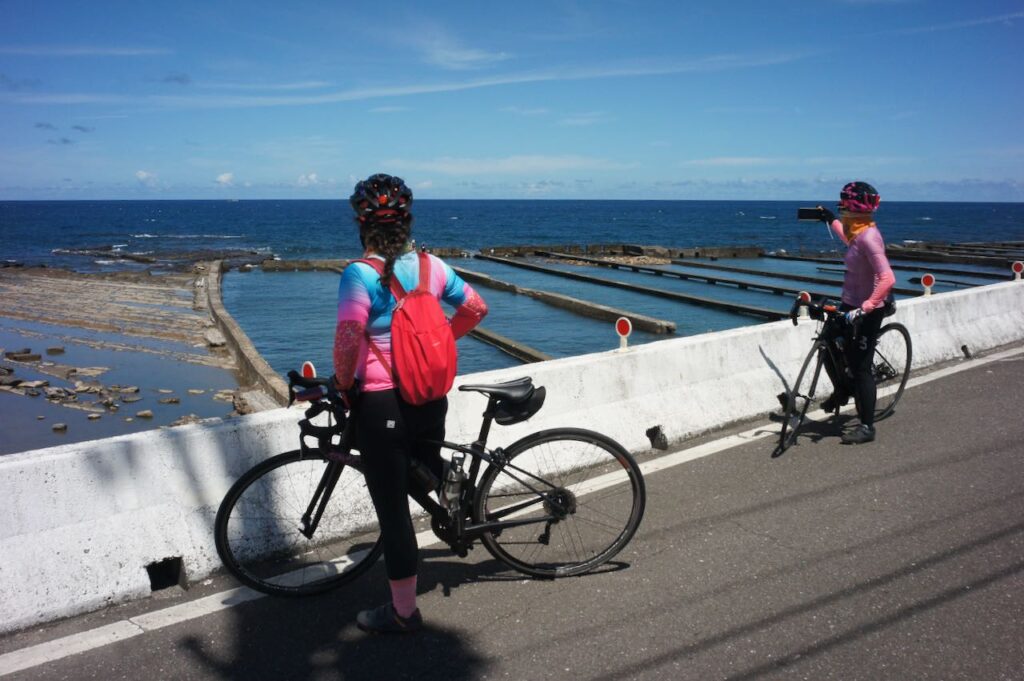
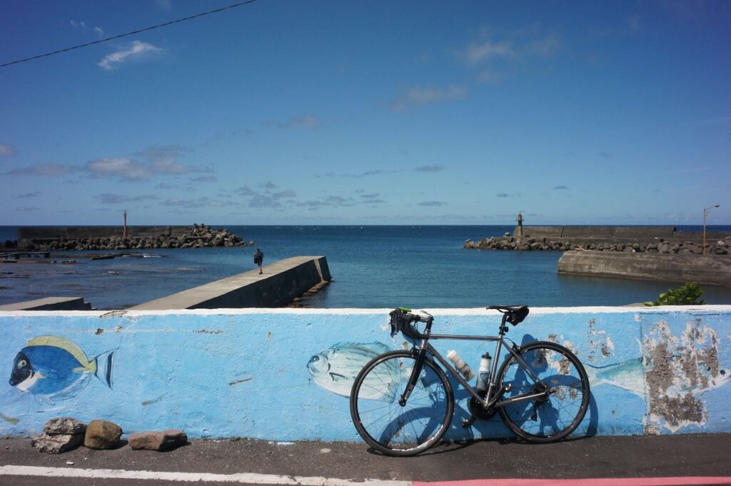
Garmin GPS data shows a total ascent of 1108 metres, but the two tunnels save you 318 metres, so the actual total ascent is around 790 metres.
Route
- Garmin: https://connect.garmin.com/modern/course/342143846
- Velodash: https://velodash.page.link/8mE4
- komoot: https://www.komoot.com/tour/2128898890
NOTE: To use the routes, please install the App on your smartphone. The App will launch and load the route automatically after you tap the above links on your smartphone’s browser. For Garmin Connect, you can then use the APP to send the route to your garmin device. If your Garmin device is not purchased in Taiwan, you will also need make sure you have the Taiwan map on your device. Here is our blog post on this topic.
Day 2 Fulong to Jinshan
There are three possible routes for this stretch:
Coastal Route
The coastal route is flat, straightforward, and filled with scenic views, including the Cape Bitoujiao. However, be aware that Provincial Highway 2 is busy with heavy trucks until they divert to Express Highway 62 near Ruibin. Some of the road is narrow, and there are 2-3 short tunnels. Before entering the narrow short tunnels, it is best to let vehicles pass.
Some of the tunnels can be bypassed. For instance, a detour to Longdong Lookout can bypass a tunnel but it involves a short stairway, and the tunnel near the Bianfudon Park can be avoided via a small village — both detours are included in the GPS route.
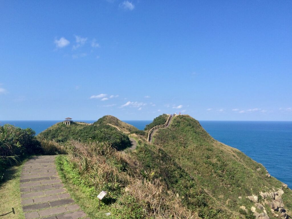
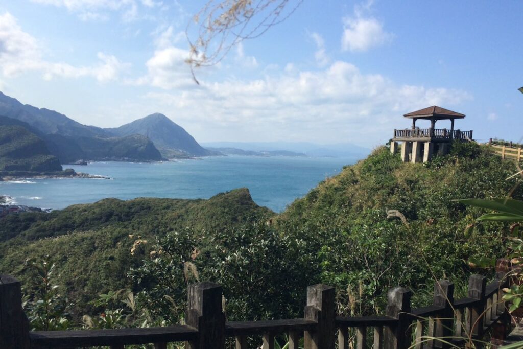
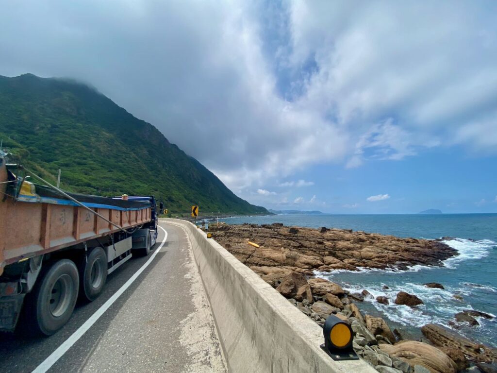
After the trucks switch to Express Highway 62 at, cycling becomes more enjoyable. You’ll pass through Keelung City, which is busier, but we’ll briefly leave the city once we reach the Maritime Plaza. I’ve routed the GPS route through Waimusha Fishing Harbour for a quieter, picturesque ride. There’s even a dedicated bikeway running through a beach that leads to Wan-li Fishing Harbour.
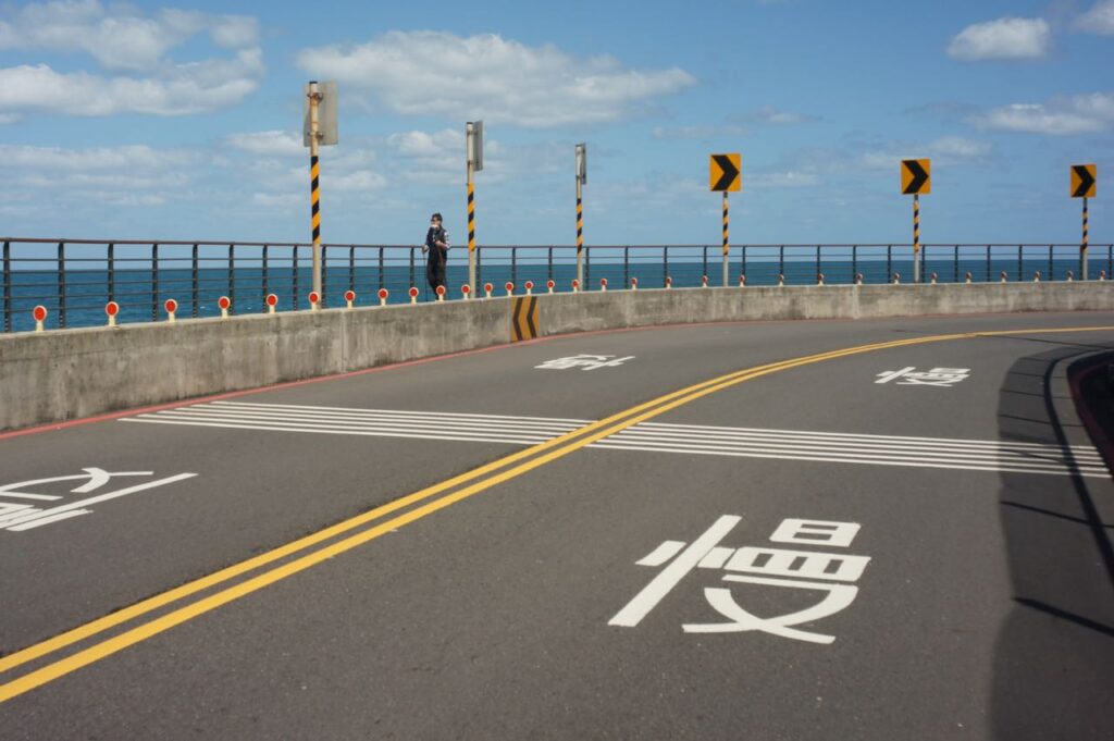
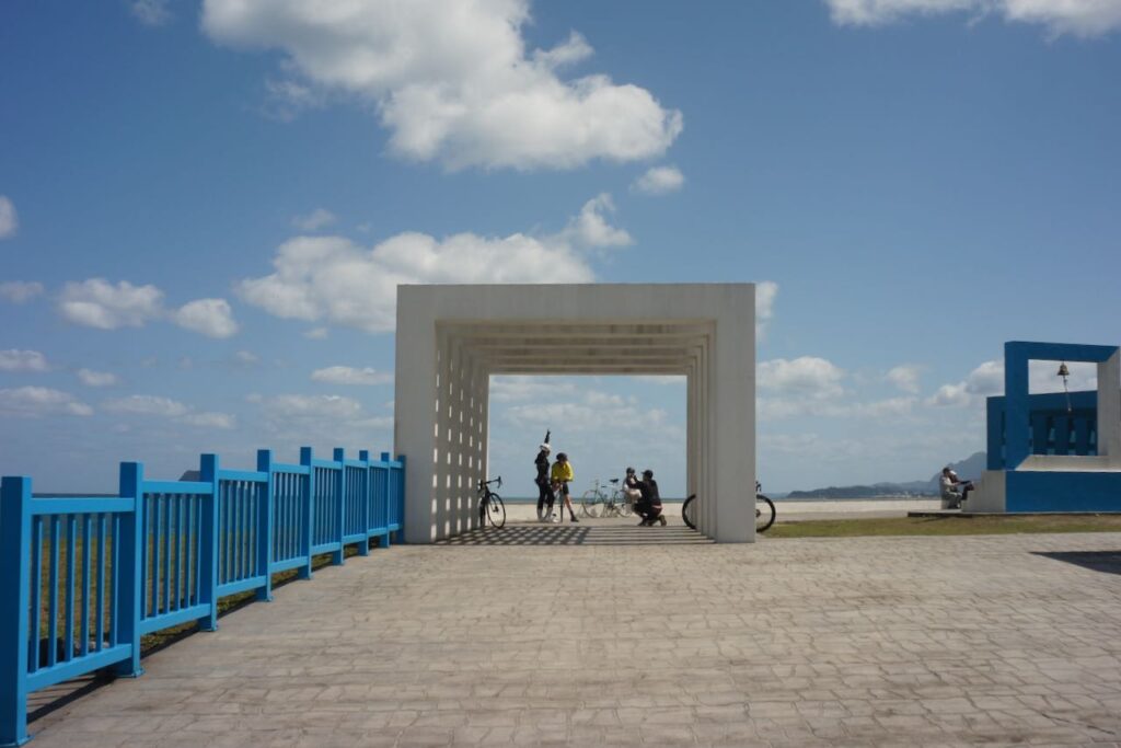
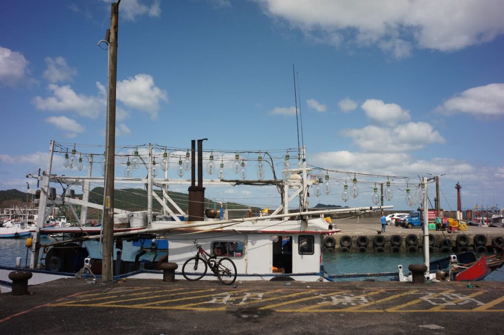

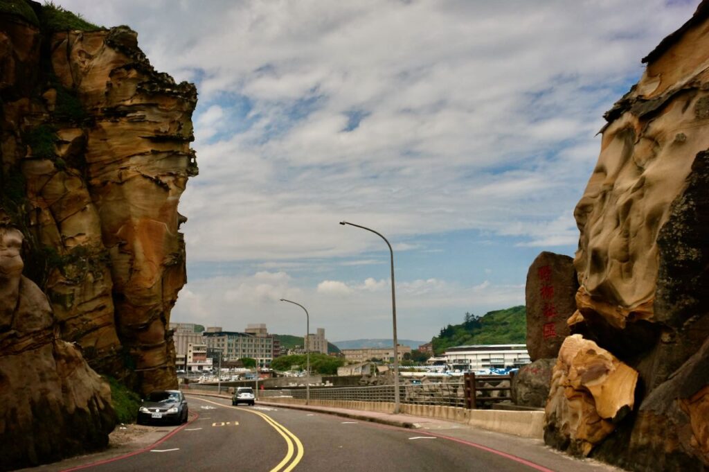
The popular Yehliu Geopark park is a short ride from Wan-li. If you want to explore it in depth, consider staying overnight there. Otherwise, continue to Jinshan District.
This route includes both the Northeast Coast (beautiful but busy) and part of the North Coast (less traffic, more leisure spots).
Buyan Pavilion Route
To avoid coastal traffic, you can cycle inland to Shuangxi and climb to Buyan Pavilion (516m), then descend to Jiufen – a charming area with concentrated points of interest. Jiufen Old Street and the Liukeng Slope Ropeway are included in the GPS route.
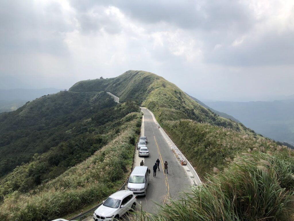

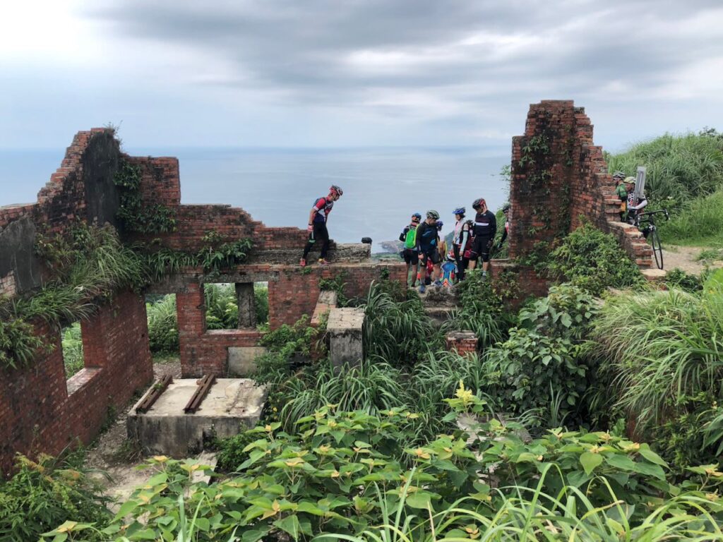
After Jiufen Old Street, descend halfway and make a short climb to reach the Ropeway, then follow the route down to Yingyan Sea to merge with the coastal route. There are still 5 km shared with truck traffic.
To avoid trucks completely, skip the Ropeway and descend County Highway 102 to Ruifang Station, then rejoin the coastal route. (Route not included.)
If you have extra time, consider staying overnight in Jiufen. The atmosphere changes beautifully in the evening.
Sandiaoling Tunnel Route
The third option is using the Sandiaoling Tunnel to avoid both the hill climb and the heavy truck traffic on Provincial Highway 2. This is supposed to be the best route – flat, scenic, and free of charge – but it comes with some bureaucratic administration requirements: advance booking is required, the tunnel is generally closed on Mondays, and you’ll need to plan your ride to make sure you enter the tunnel within your reserved time slot, which is limited to a 2-hour window.
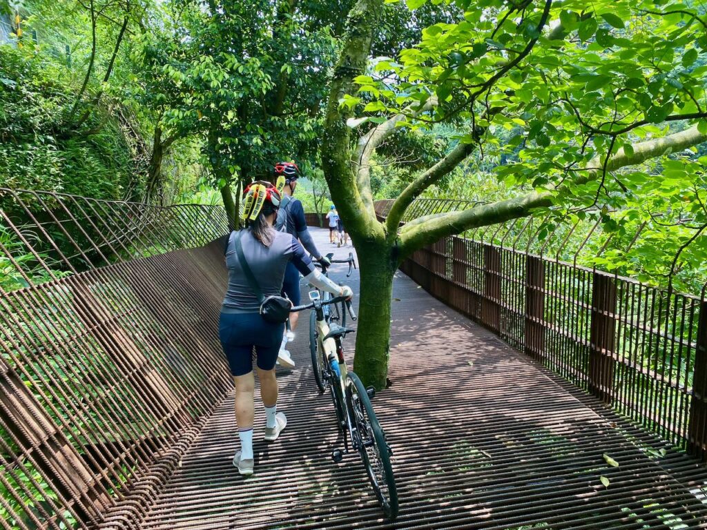
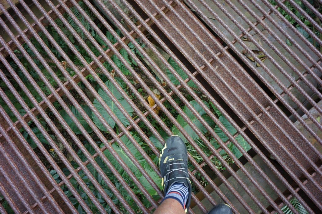
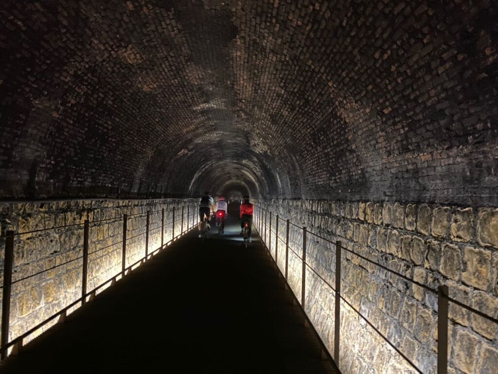
Unfortunately, all these bureaucratic requirements, along with poor design choices, really defeat the purpose of what should be a cyclist-friendly passage. The raised road surfaces are paved with stripes of rebar, creating numerous gaps, which present a tripping hazard, especially if you are using shoes with cleats for clipless pedals. Be sure to hold your smartphone or bike computer tightly to avoid dropping it through the gaps.
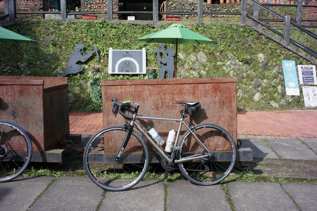
Despite these inconveniences once you get through the tunnel, the ride ou’ll be rewarded with interesting remnants of the area’s coal mining history. You can also visit the Houtong Cat Village, a well-loved tourist stop. From there, it’s a pleasant ride to Ruifang Train Station, where you can merge with the coastal route at Ruibin.
Coastal Route
- Garmin: https://connect.garmin.com/modern/course/338701223
- Velodash: https://velodash.page.link/NiZF
- komoot: https://www.komoot.com/tour/2129584993
Buyan Pavilion Route
- Garmin: https://connect.garmin.com/modern/course/338701433
- Velodash: https://velodash.page.link/vCUN
- komoot: https://www.komoot.com/tour/2129601459
Sandiaoling Tunnel Route
- Garmin https://connect.garmin.com/modern/course/338702630
- Velodash: https://velodash.page.link/e9jG
- komoot: https://www.komoot.com/tour/2129779695
NOTE: To use the routes, please install the App on your smartphone. The App will launch and load the route automatically after you tap the above links on your smartphone’s browser. For Garmin Connect, you can then use the APP to send the route to your garmin device. If your Garmin device is not purchased in Taiwan, you will also need make sure you have the Taiwan map on your device. Here is our blog post on this topic.
Day 3 Jinshan to Taipei
There are two return options.
Coastal Route
Follow Provincial Highway 2 along the coast to Tamsui. The first half offers spectacular ocean views and leads you to Fuguijiao Lighthouse – the island’s northern tip – which I’ve included as a detour in the GPS route. Afterward, enjoy a local rice dumpling in a restaurant nearby.
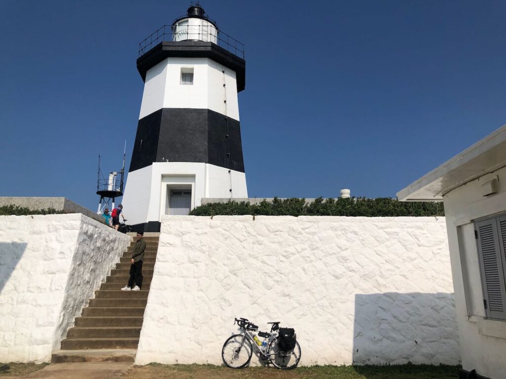
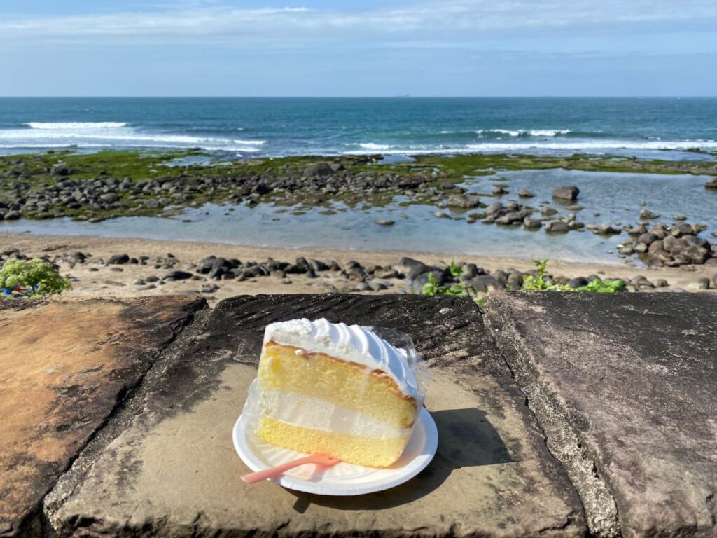
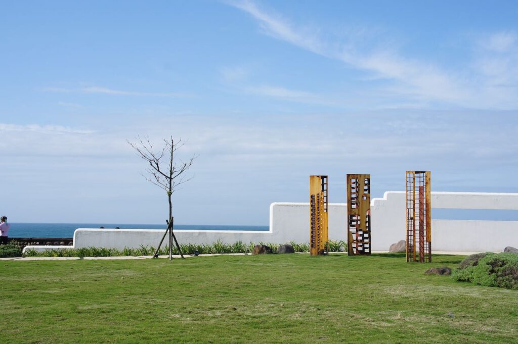
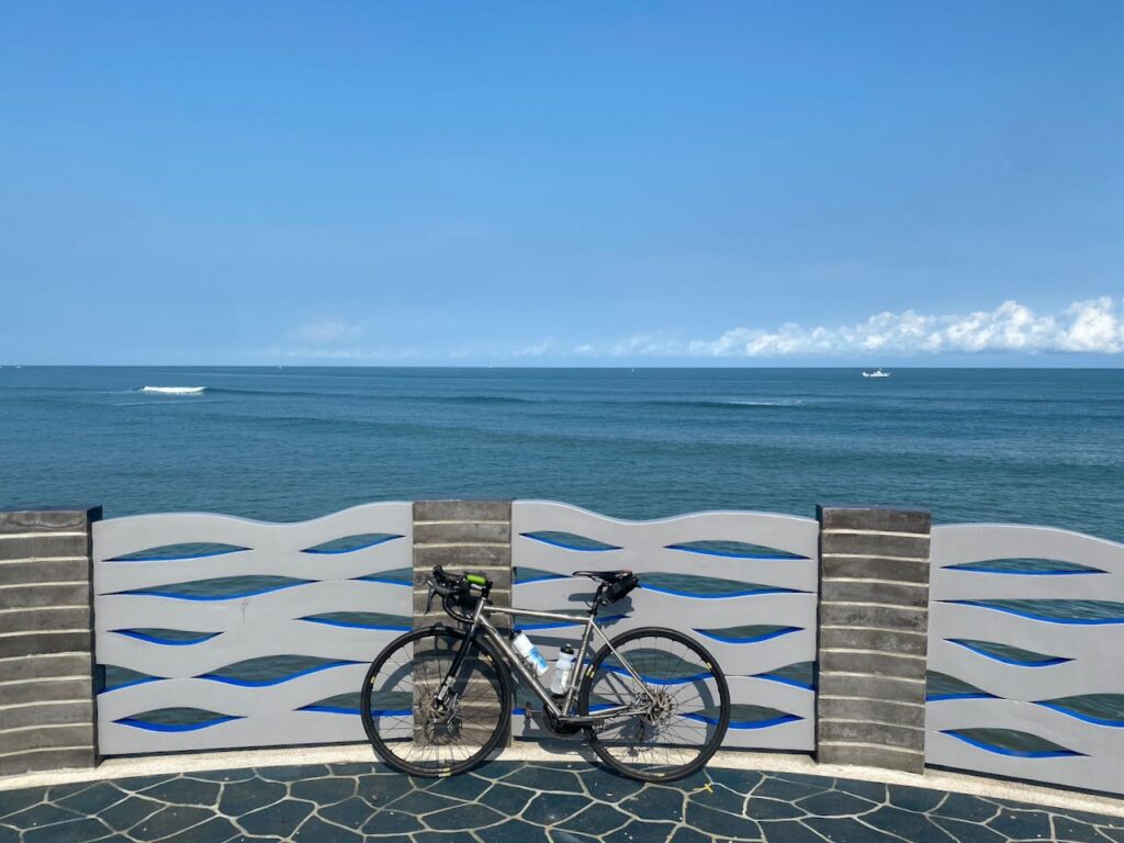
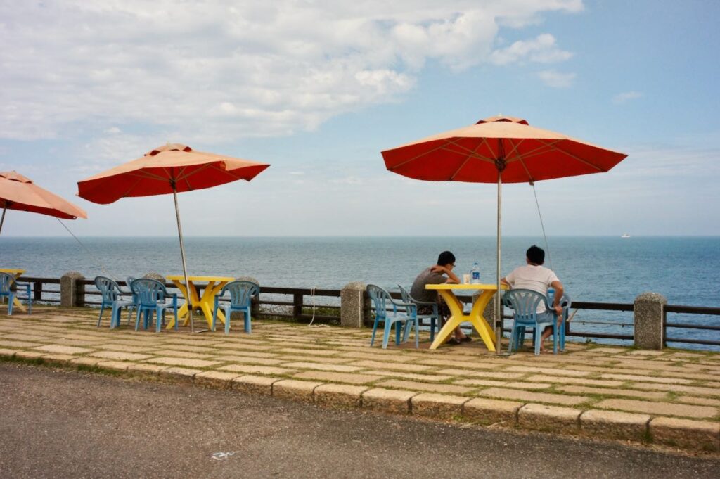
The GPS route then takes you onto quieter bike paths before rejoining Provincial Highway 2. The second half is less close to the sea, so views are more limited. Expect 3 to 4 small climbs before entering Tamsui District, where you can follow Riverside Bikeways back to Songshan Station. Alternatively, take the MRT from HongshulinStation with your bike. (See “How to Ride with Your Bike on Public Transportation in Taiwan” for more.)
Yangmingshan Route
Since the second half of the coastal route isn’t as scenic, you may prefer a final challenge: climbing Yangmingshan. County Highway 101 Connects Sanzhi District to the mountain and offers a steady climb – 900 metres over 21 km, with an average gradient of 3.8%.
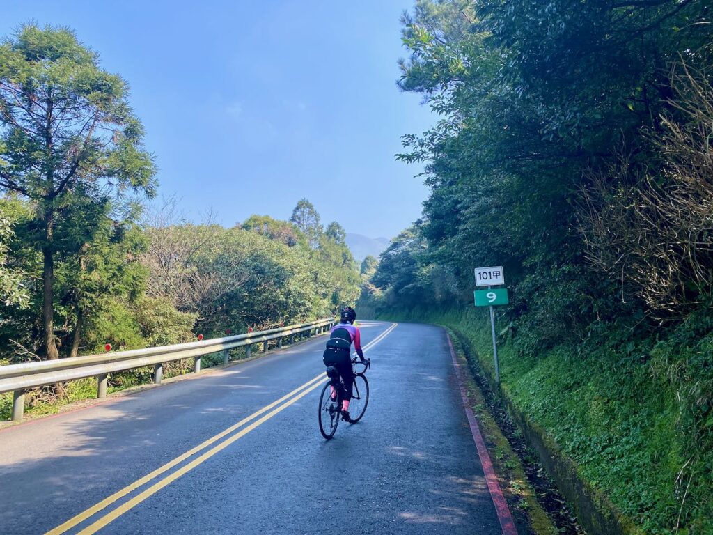
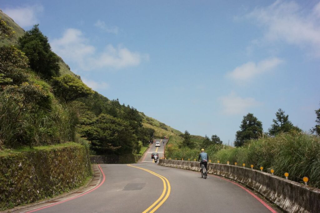
For the descent, the GPS route avoids busy Provincial Highway 2A (2甲), taking through a quiet road instead. Then after a final 140-metre climb, you’ll reach an area with large shopping malls before entering the Riverbank Bikeways and returning to Songshan Station.
Coastal Route
- Garmin: https://connect.garmin.com/modern/course/338709806
- Velodash: https://velodash.page.link/EyBQ
- komoot: https://www.komoot.com/tour/2129809442
Yangmingshan Route
- Garmin: https://connect.garmin.com/modern/course/338709879
- Velodash: https://velodash.page.link/pche
- komoot: https://www.komoot.com/tour/2130337039
Conclusion
This three-day cycling journey around Greater Taipei offers a rich blend of coastal scenery, mountain challenges, and cultural highlights. From the gentle riverside start in Taipei to the tranquil shores of Fulong, the rugged coastline to Jinshan, and the scenic return via either the coast or the volcanic slopes of Yangmingshan, each route provides its own unique experience. Whether you prioritize stunning sea views, hidden mountain gems, or historical towns, the GPSroute options allow for a flexible and rewarding ride tailored to your pace and preferences. Happy cycling!
