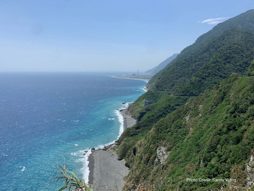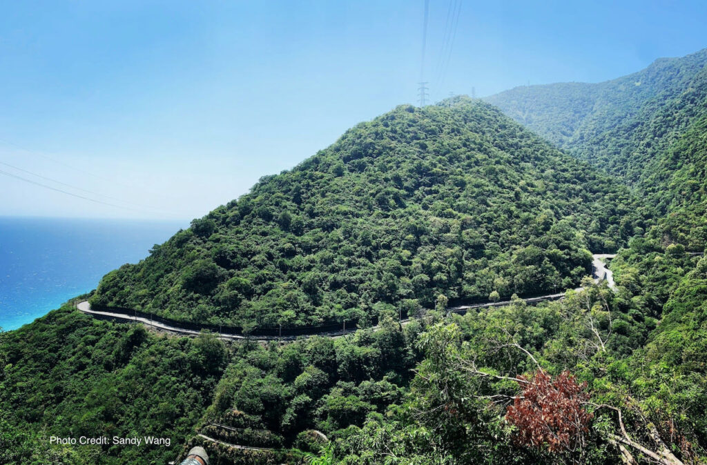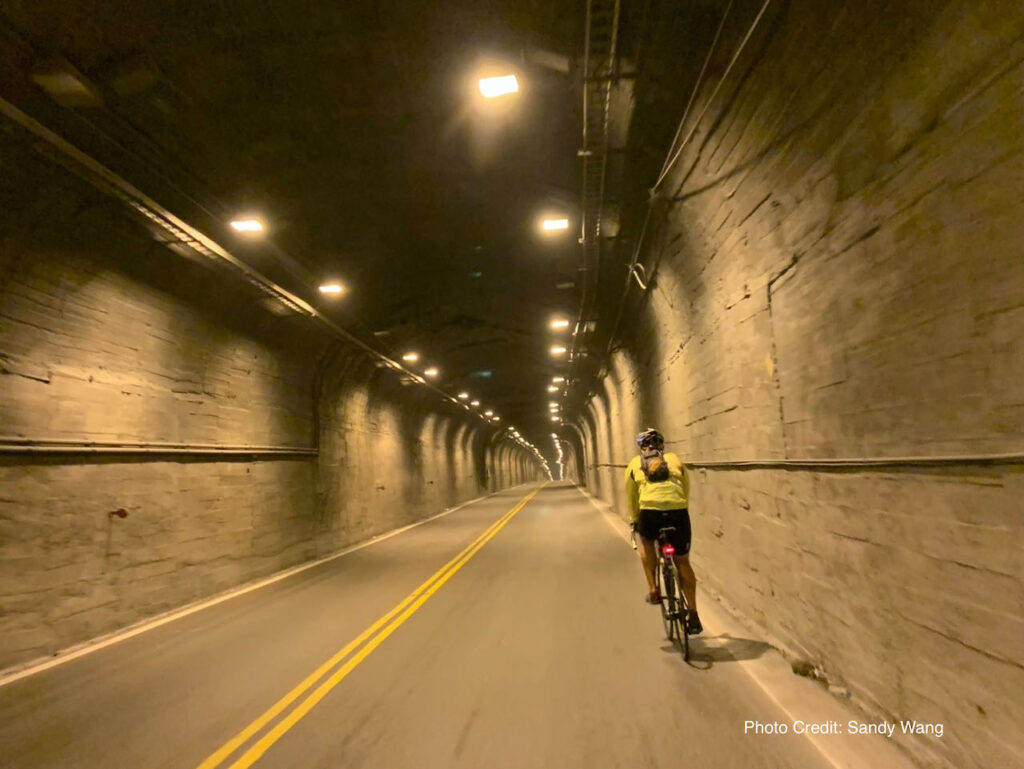
The Suhua Highway is a treacherous and narrow roadway that winds along the edge of a steep cliff, connecting Hualien to Yilan. It navigates through hilly terrain, featuring three major climbs and noisy tunnels. Cycling on this route is considerably more challenging compared to other sections of Cycle Route No. 1. As a result, it is often recommended to take the train with our bikes to bypass this segment.
However, cycling on Suhua Highway offers stunning coastal views, challenging terrain, a sense of adventure, and a refreshing experience in nature. Some cyclists embrace the opportunity for the breathtaking views and the exhilarating experience of tackling the challenging terrain.
We had customers wondering if they should do it. Here are my thoughts about whether to cycle on this part.
Challenging: long with lots of climbing
The Suhua Highway from Xincheng to Su’aoxin is not an easy one. We have 82 km to cover with several peaks to climb, resulting in a total ascent of 1,675m according to Garmin Connect. We need to estimate our strength and decide how challenging we want our day to be.

Risks posed by Mother Nature
There are also some risks involved in cycling on this route. First, the risk posed by mother nature. Landslides and falling rocks on the road, though not common, can occur, particularly after earthquakes, heavy rains, and typhoons.
Risk posed by other vehicles
Secondly, there is a risk posed by other road users such as heavy trucks, coaches, and cars. The road is narrow, leaving less space for those vehicles to overtake bicycles.
Another challenge is cycling through the tunnels with those vehicles. Along the route, there are several narrow tunnels where the noises produced by heavy vehicles can be trapped inside, making it unpleasant to the ears.

New Suhua Highway
The situation has improved after the Directorate General of Highways finished building the new Suhua Highway (Provincial Highway 9) in 2021. The new highway has diverted more traffic from the old one (Provincial Highway 9丁), making some of the sections more like a road exclusively for bikes. Which are shown on the map below in blue:
- Daqingshui to Hezhong: 10.7km, Total Ascent 252m
- Heping to Nanao: 25.9km, Total Ascent 453m
- Dongao to Suaoxing: 18.84km, Total Ascent 420m
Overlapping Sections
However, there are still some sections where the two highways merge and combine the traffic. (shown on the above map in red)These sections are:
- Xincheng to Daqinshui: 12.66km, Total Ascent 323m with 4 tunnels
- 崇德隧道 (Chongde Tunnel): Length 325m, Width 7.5m
- 匯德隧道 (Huide Tunnel): Length 1460m, Width 7.5m
- 錦文隧道 (Jinwen Tunnel): Length 406m
- 大清水隧道 (Daqingshui Tunnel): Length 521m, Width 7.5m
- Hezhong to Heping: 3.63km, Total Ascent 24m
- Nanao to Dongao: 10.94km, Total Ascent 275m with 1 tunnel
- 新澳隧道 (Xinao Tunnel): Length 1267m, Two pipes (northbound pipe has two lanes)
Strategies and Tips
If you are well-informed and decide to cycle on this part, here are some tips I would like to share with you:
Cycle Only in Favorable Weather
- Riding in poor weather conditions is both risky and unpleasant. Always choose to cycle when the weather is clear and stable.
Be Mindful of Heavy Trucks
- Although heavy trucks can be loud, their drivers are experienced and familiar with the route. They usually wait patiently for a safe opportunity to overtake cyclists. To make it easier for them, it’s best to ride in pairs rather than forming a long line, which can make overtaking more difficult.
Cycling Northwards Is More Advantageous
- Traveling northward (anti-clockwise around the island) offers several benefits. Most attractions are located on the sea side, and since Taiwan follows right-hand traffic, this direction allows for better coastal views without needing to cross the road. Additionally, it’s easier to spot falling rocks on this side.
Plan Your Ride Timing Carefully
- For Northbound Riders: Start early to pass through the four tunnels between Chongde and Daqingshui before traffic builds up. Beyond Daqingshui, most tunnels are located along the Old Suhua Highway (9丁 or 9D), where traffic is lighter. The final shared section of the new and old routes, from Nanao to Dongao, spans 11 km with a total ascent of 275 m and a 1.2 km tunnel. Assess your stamina, traffic conditions, weather, and time of day. If needed, you can take a train without bagging your bike to Dongao or Suaoxin.
- For Southbound Riders: Start early to get through the Nanao–Dongao section before traffic increases.
Use the Truck Drivers’ Lunch Break to Your Advantage
- Between 12:00 and 1:00 pm, most truck drivers take their lunch break, leading to lighter traffic. Utilize this window to cycle through the busier sections more safely.
You may refer to our blog post for information on trains that allow naked bikes daily and more details on using public transportation with your bike.
