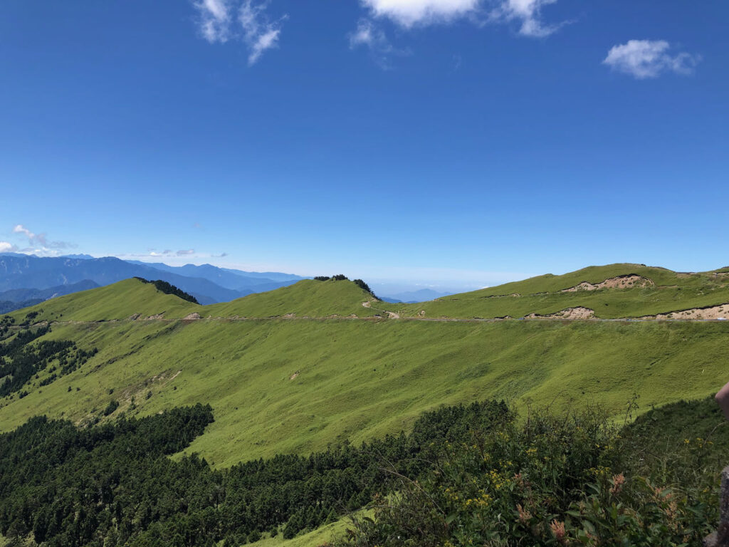
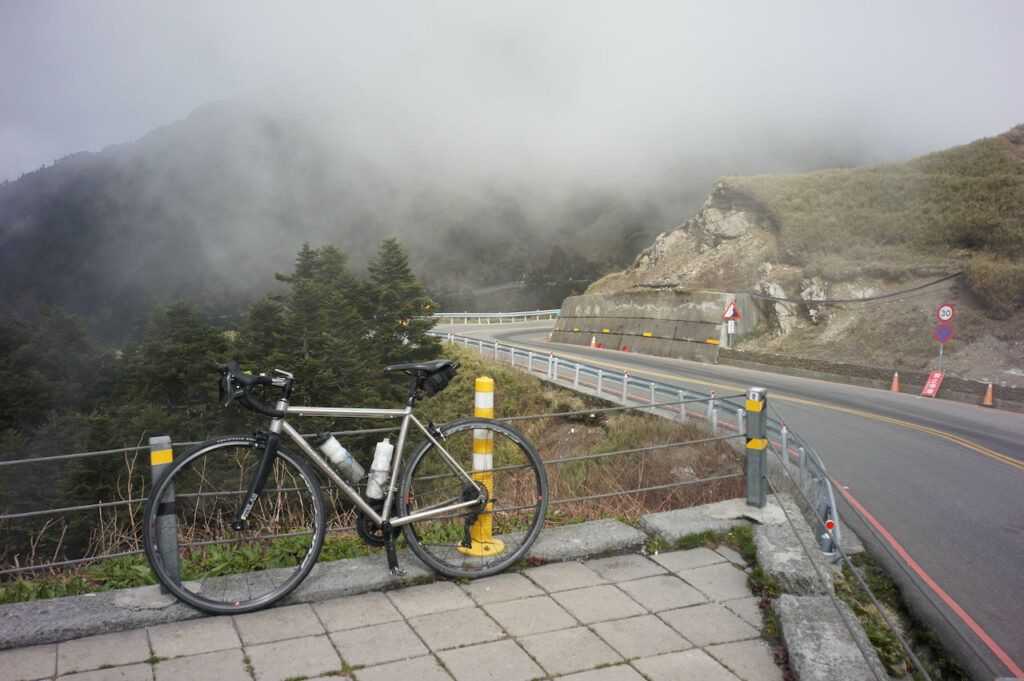
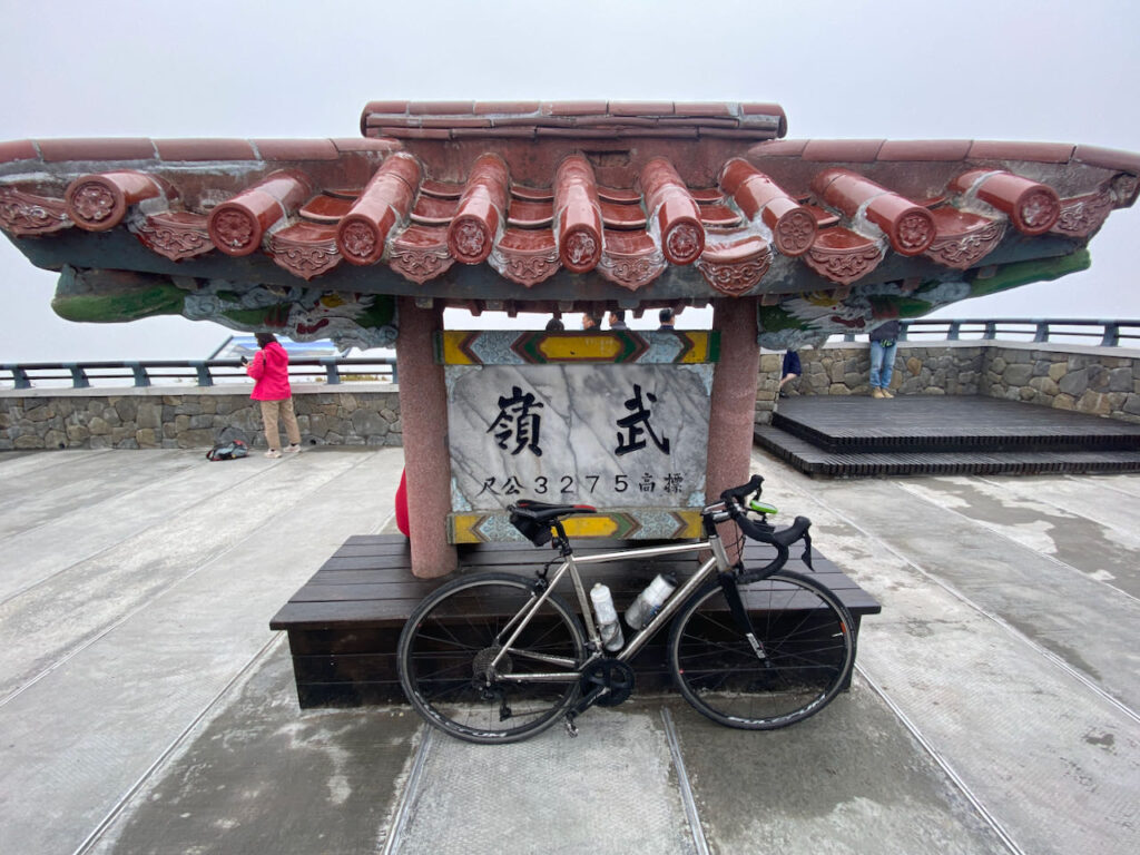
After the 403 Earthquake in Hualien
After the strongest earthquake in 25 years hit Hualien on April 3, 2024, the Taroko Gorge and the route to Wuling Pass from Hualien (the KOM route) were destroyed. There is no schedule for when the route will be restored and reopened. As a result, we won’t be able to climb to Wuling Pass from Hualien or descend to Hualien from Wuling at least in the near future.
However, the route from Dayuling to Wuling Pass is still open. It is still possible to visit Wuling Pass, the High Extreme, by approaching from the north and descending to Puli to visit the West and South Extremes. Therefore, I suggest another route to achieve this.
Cycle the Five Extremes Around Taiwan is a cycling challenge that entails reaching the five extreme points of the Taiwan main island, including the North, East, South West, and the highest paved road at Wuling Pass, which stands at an elevation of 3,275 metres. Upon completing this challenge, you would have covered a distance of 1,237 kilometers and ascended a total of 11,143 meters.
While the Four Extremes Around Taiwan already provide a more challenging way to cycle around the island than The Classic 9-Day Cycling Around Taiwan, some fellow cyclists seek to incorporate an epic climb into their journey. Hence, we introduce the fifth extreme at Wuling, making it a total of five.
In this post, I will discuss the strategies for reaching the High Extreme of Wuling. For information about the other four Extremes, please refer to ‘Cycle the Four Extremes Around Taiwan.’
Best Time to Climb Wuling
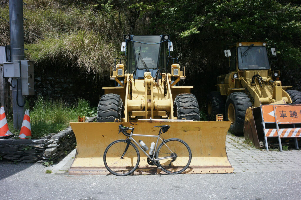
According to Wang Shen-Chih, who has climbed Wuling Pass more than 200 times and shared his insights with us in this interview, the optimal period to climb Wuing is during autumn when the weather is typically sunny with a low chance of precipitation. Summer is also a viable option as temperatures at the summit are not excessively high. However, it’s important to plan the return trip for the morning hours to avoid the afternoon thunderstorms that are common during this season. He noted that spring tends to have frequent rain, and if it does rain, temperatures can drop below 10 degrees Celsius. Winter is considered the least favourable time for the ascent. It can bring either rain or fog, both of which can soak your clothing and sap your body heat posing challenges, especially during the descent. In the heart of winter, there may even be snow or ice on the road surface, making it hazardous for cyclists.
Possible Road Blockage and Traffic Control
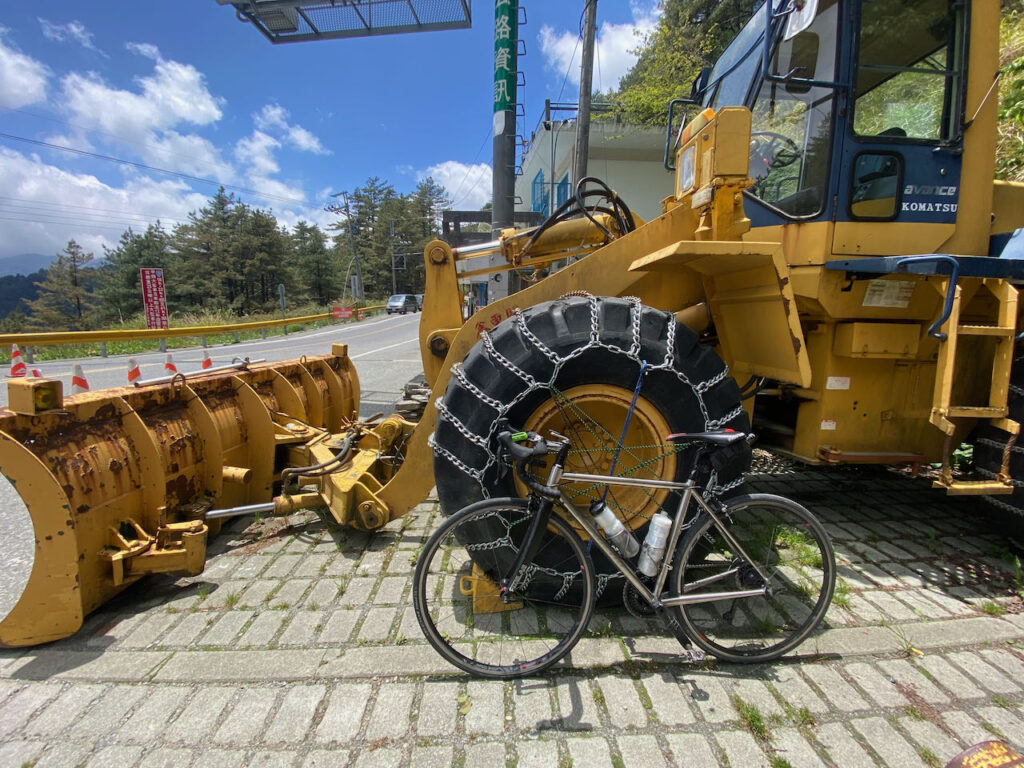
When planning your trip, please be mindful of potential road blockages or traffic control measures in the mountain highways. The highways in these mountainous regions are occasionally subject to damage from typhoons or earthquakes. While repairs are typically carried out swiftly, some damages may take several months to fully repair. Construction workers may need to block off sections of the road to perform their work, resulting in specific time windows for passage.
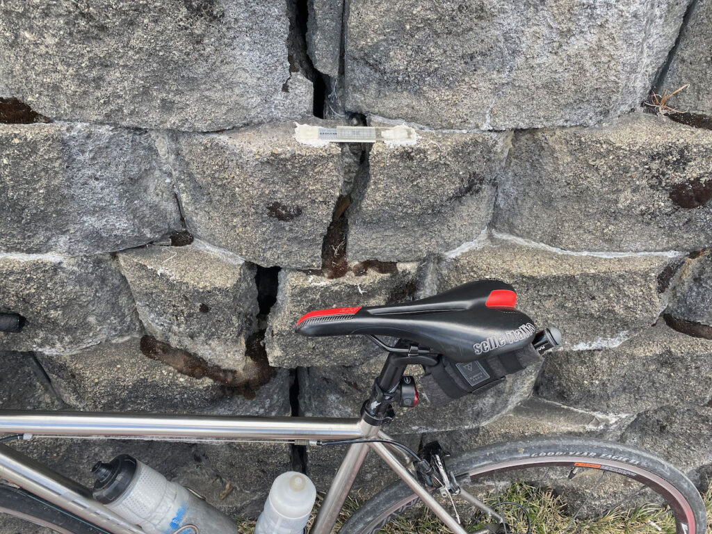
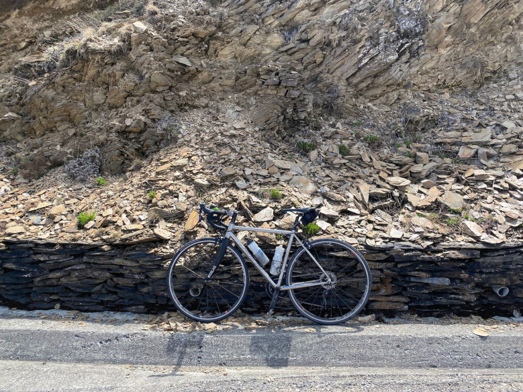
As of the current date (18 Oct, 2023), there are four sections of Provincial Highway 8, from Xincheng to Wuling, undergoing repairs. For instance, at 179K+500 near Baisha Second Bridge, the scheduled windows for passage are at 10:00, 11:30, 14:00, and after 17:00. In the Kuanyun Section at 117K+400, the passage windows are 07:00 – 08:00, 10:00-10:10, 12:00-13:00, 15:00 -15:10, and 17:00-17:10, with the road closed during other times. The remaining two sections have no fixed schedule; typically, one lane is closed, and two-way traffic takes turns using the remaining lane.
These passage time windows significantly impact our riding schedule. It’s crucial to plan your ride carefully and have contingency options in case of unexpected delays. Avoid getting stuck on a mountain peak.
Please refer to this post on how to check the latest road conditions:
Strategies for Travelling Anti-Clockwise
Route
Climbing to Wuling
To cycle counterclockwise on the Five Extremes Around Taiwan route, you’ll face a challenging climb from Xincheng, Hualien to Wuling, covering a distance of 87 kilometers with a total ascent of 3,768 metres. This segment is the essential route of the KOM (King of the Mountain) race, also known as the ‘Eastern Approach to Wuling’ or ‘東進武嶺’.
Given the length and limited supply stops along this route, it’s essential to plan your journey carefully. If you cannot complete the ascent in a single day, there are two locations where you can stay overnight. The first option is Tianxiang, which is approximately 20 kilometres from Xincheng, with a total ascent of 636 meters. In Tianxing, you’ll find two hotels, Tienhsiang Youth Activity Centre and Silks Place Taroko, as well as a 7-Eleven.
The second option is Kuanyun Lodge, located at an altitude of 2,374 metres and much closer to the summit, making it a preferable place to stay over. Keep in mind that dinners at Kuanyun Lodge are served within a specific time window. If you miss the dinner or find the portions insufficient, there is a store that sells instant noodles, available until 21:30, according to the official website.
The ultimate challenge awaits in the last 10 kilometres, from Dayuling at 2,565 metres to Wuling. At this point, you’ll have expended much of your strength, and the air becomes thinner as you ascend. The remaining total ascent covers 767 meters within this 10.14-kilometre stretch, with 1 kilometre of descent that makes the gradient for the remaining ascent consistently over 10%. Approximately halfway, at around the 5-kilometre mark, you’ll encounter the Hehuanshan Service Station, your last opportunity for resupply.
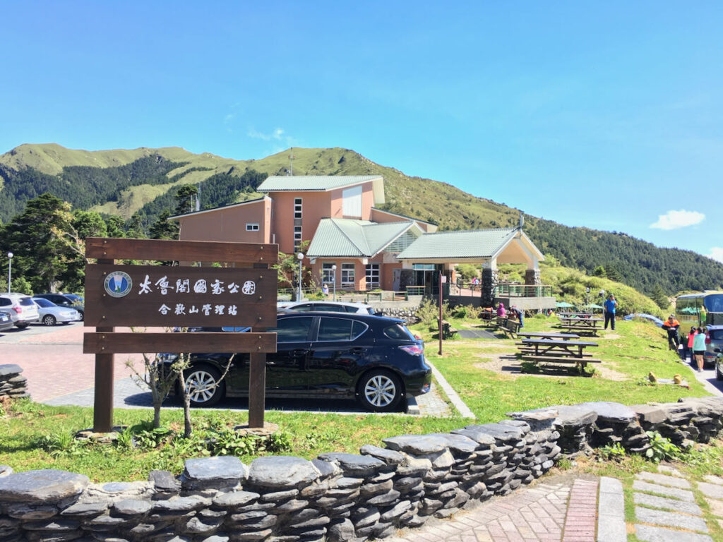
However, it’s important to note that the weather at this altitude can change rapidly. If you find the ascent too challenging, encounter unfavourable weather conditions, or realise it getting too late to continue safely, it’s a wise decision to abort the climb and descend to Lishan for the staying over. It’s a 30 kilometres route with 700-meter descent.
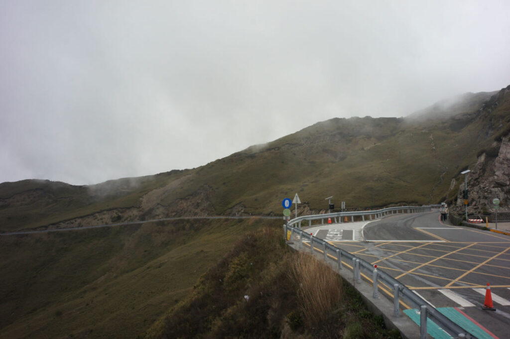

Caution with the Long Steep Descent
While climbing to Wuling presents its challenges, descending requires careful consideration due to the risks involved. Even under favourable weather conditions and ample daylight, the descent demands caution. Before descending, it’s crucial to check your brakes. Some sections are so steep that you may even catch the scent of burnt braking pads from motorbikes and cars in the air. On a particularly sharp turn, there is a wall padded with used tires in place, just in case someone fails to navigate the turn.
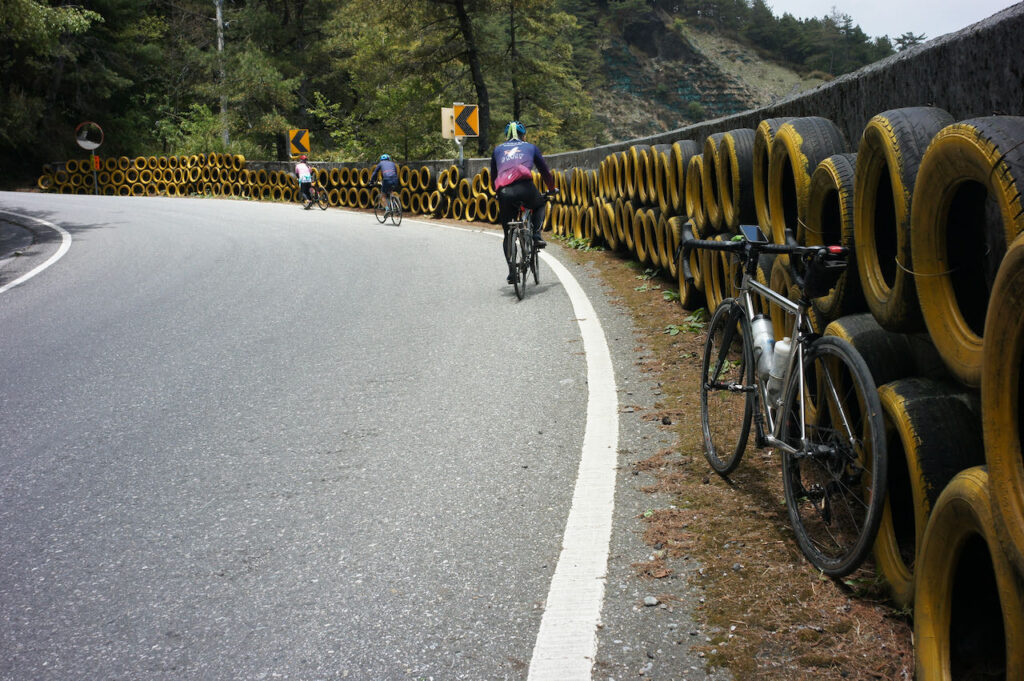
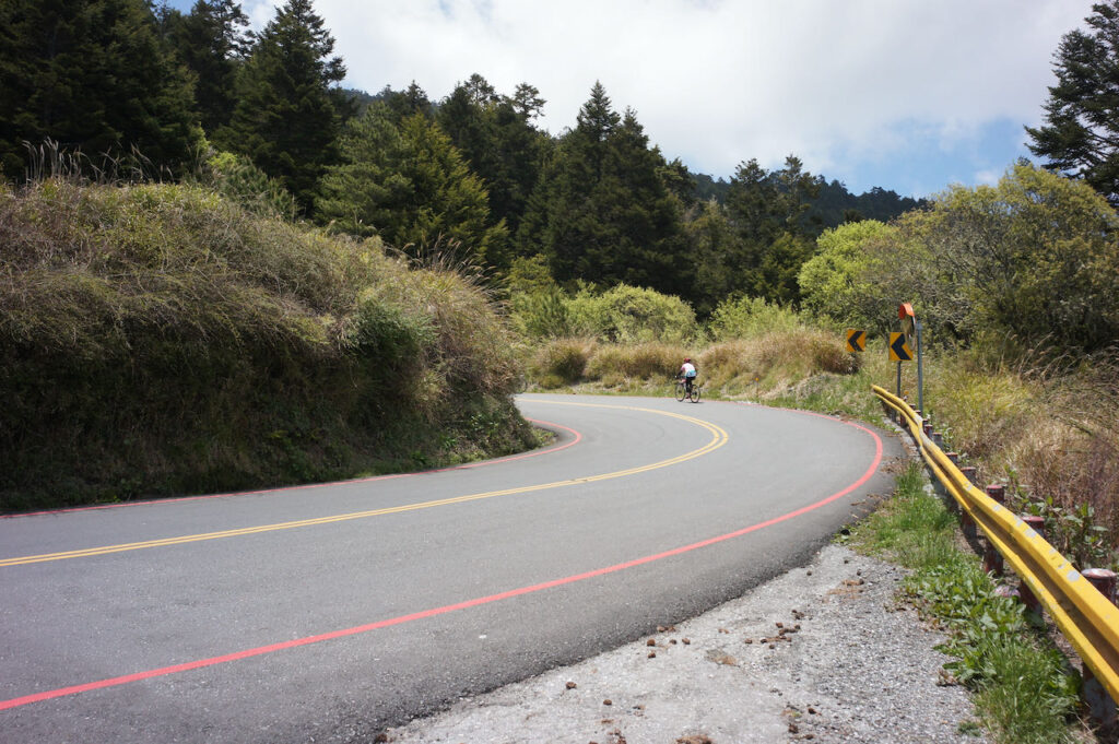
Descending from Wuling in the dark is highly discouraged as it poses extreme dangers. The reduced visibility during nighttime requires a significantly slower descent, which places greater stress on the braking system. To ensure safety, plan your descent during daylight hours, allowing for ample time on your return journey.
It’s also essential to bring sufficient clothing to keep warm. As a general rule, for every 100 metres of altitude gain, the temperature drops by an average of 0.65 degrees Celsius. At an altitude of 3,275 metres in Wuling, the temperature is 21 degrees Celsius lower than at sea level. During the descent, your body generates less heat than during the climb. The higher speed of descent amplifies the wind chill effect, further lowering the perceived temperature. If it rains during the descent, it can become a survival challenge. Therefore, it’s advisable to commit to the last 10 kilometers of climbing from Dayuling only under favourable conditions. We could cut our route short by cycling to Lishan from Dayuling directly, which is a more manageable terrain to ride.
Lishan is a popular tourist destination with more hotels and restaurants, making it a comfortable location for an overnight stay.
Lishan to Yilan
While the descent from Lishan to Yilan is generally a long and milder one, it’s essential to consider the two significant climbs you’ll encounter along the way. After two descents (9 kilometers, -468 metres; 3.6 kilometres, -195 metres), you’ll face two climbs (9 kilometres, 490 metres; 6.5 kilometres, 155 metres) before reaching Syiyuan Yakou, a mountain pass.
It’s important to prepare for a significant change in weather as you pass through Siyuan Yakou, especially during winter and spring. The mountain acts as a barrier to the cool north-east prevailing wind, trapping humid air on the northern side of the pass. This results in a significant drop in temperature, typically accompanied by drizzles and fog, making the road surface wet. In such conditions, descending rapidly may not be possible, and frequent brake use is necessary. As a result, braking pads tend to wear quickly, particularly as they grind against the sand sticking to the braking surfaces in the presence of water. Carrying extra sets of braking pads is a safer approach and can alleviate our concerns.
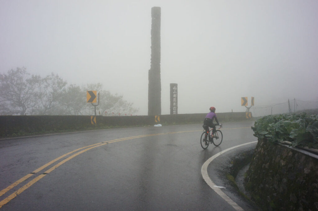
Strategies for Travelling Clockwise
Route
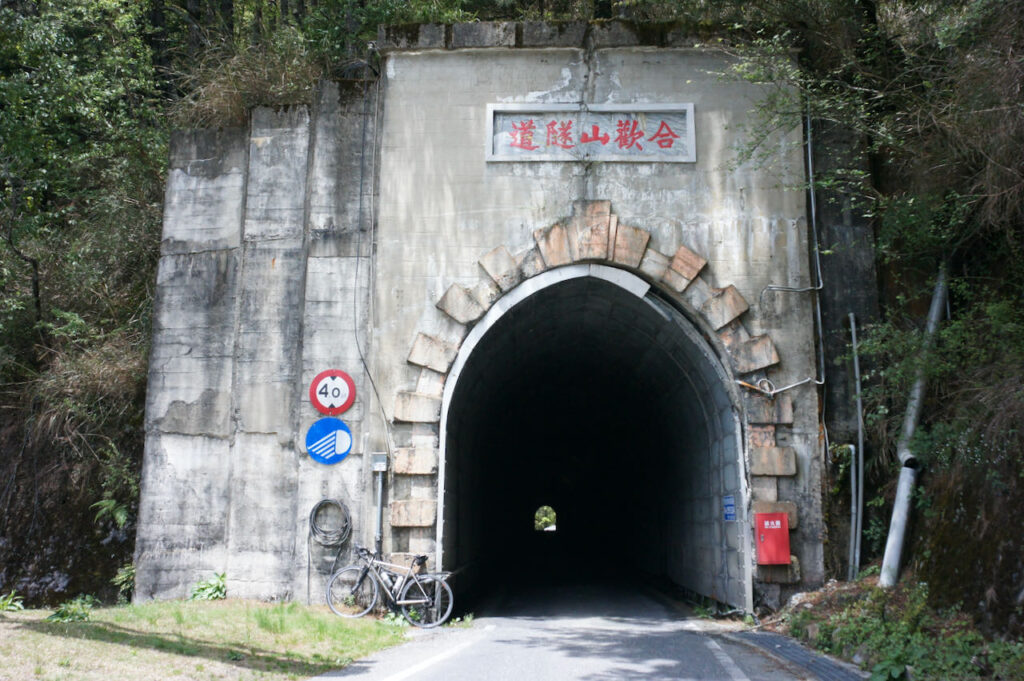
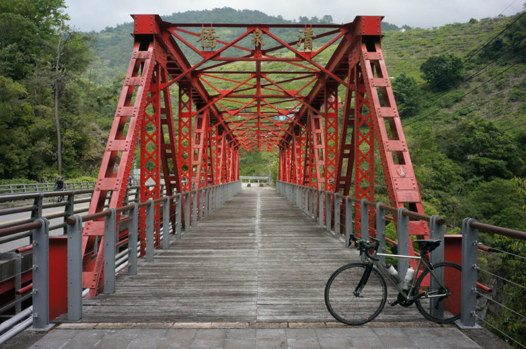
When following this route clockwise, after visiting Fuguijiao, the North Extreme, and Sandiaojiao, the East Extreme, the journey continues with a challenging climb to Wuling from Yilan along Provincial Highway 7 and 7甲 (7A) via Lishan. This particular route is also known as the ‘Northern Approach to Wuling’ or ‘北進武嶺’.
As you progress between Lishan and Yilan, you’ll find several accommodations scattered along Provincial Highway 7甲 (7A) to choose from. When booking your stay, please ensure that they offer meals, as there are no nearby restaurants. For resupply options, there is one grocery store in Taiping, one FamilyMart in Nanshan Tribal Village, and one 7-Eleven in Huangshan Tribal Village as you make your way from the bottom to Lishan.
Lishan is considered an ideal place to stay overnight, as it marks the beginning of the final climb to Wuling, covering a distance of 40 kilometers with a total ascent of 1,474 meters. While this distance may not be extensive, it’s essential to plan adequately for the return trip to the next hotel.
Once you reach Dayuling and pass through the iconic Hehuanshan Tunnel, the route coincides with the anti-clockwise one, encompassing the challenging 10-kilometers ascent I’ve previously discussed.
It’s worth emphasising that the descent from Wuling demands caution. This applies not only to the steep 10 kilometers back to Dayuling but also the remaining descent from Dayuling to Xincheng. You’ll need to navigate a descent of 3,022 meters over 77 kilometers. If you need to stay overnight before reaching sea level, consider Kuanyun Lodge. Alternatively, upon reaching Xincheng Station or Beipu Station in Hualien, you’ll find numerous hotel options to choose from.
Alternative Route After the 403 Earthquake in Hualien
We will head northeast from Taipei to Sandiaojiao, the East Extreme, and then ride along the beautiful coast anti-clockwise to visit Fuguijiao, the North Extreme. After checking off these two extremes, we can return to Taipei and ride along the Riverbank Bikeways until we reach Taoyuan. From there, we will climb the North Cross Island Highway to reach Datong Township in Yilan for the ascent on Provincial Highway 7甲 (7A) to Lishan. It’s recommended to plan a night there as there are hardly any hotels beyond this tourist town before reaching Wuling and descending to Qingjing or Puli for another night. In the suggested route, I guide you to the west coast and visit the West and South Extremes. However, it is fine if you prefer to stay in the mountains to head south.
Routes Part 1:
- Garmin: https://connect.garmin.com/modern/course/262125352
- Velodash: https://velodash.page.link/oETa
- komoot: https://www.komoot.com/tour/1522669141
Routes Part 2:

